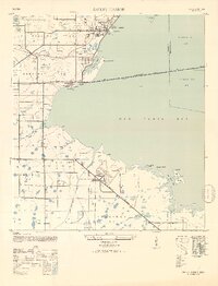
1947 Map of Safety Harbor
USGS Topo · Published 1952About this map
Pinellas Army Airfield dominates the central landscape of this 1940s survey, illustrating the significant military footprint along the western shores of Old Tampa Bay during the war era. To the north, the town of Safety Harbor sits near the mouth of Mullet Cr, while smaller settlements like Coachman and Bayview are linked by the Seaboard Air Line railroad and the Gulf to Bay Blvd.
Find a feature on this map
42 named features on this map. Tap any name to fly to it.
Don’t see what you’re looking for? This feature index may not catch every label — zoom into the map to look around manually.
Map Details
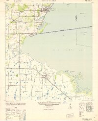
Editions of this 1947 Safety Harbor Map
2 editions found
Other maps of this area

1921 · Sand Key
USGS Topo · 1:62,500

1921 · St Petersburg
USGS Topo · 1:62,500

1943 · St Petersburg
USGS Topo · 1:31,680

1943 · Gandy Bridge
USGS Topo · 1:31,680

1943 · Bay Pines
USGS Topo · 1:31,680

1943 · Safety Harbor
USGS Topo · 1:31,680

1943 · Dunedin
USGS Topo · 1:31,680

1943 · Port Tampa
USGS Topo · 1:31,680

1943 · Clearwater
USGS Topo · 1:24,000

1943 · Oldsmar
USGS Topo · 1:24,000