Old Maps of Feather Sound, Florida
Explore 26 old maps of Feather Sound, spanning from 1921 to today. These high-resolution historic maps reveal how streets, neighborhoods, landmarks, and natural features evolved over time — perfect for genealogy, metal detecting, research, and local history exploration.
What you can do with these maps:
- See how Feather Sound changed over time: Compare historical maps to modern-day views to trace roads, homesites, rail lines & more.
- View detailed metadata: Each map includes creators, publishers, year, scale, and archive source.
- Overlay maps with satellite & LiDAR: Visualize the past alongside modern tools to explore terrain & human change.
- Trusted historical sources: Maps sourced from the USGS, Library of Congress, and other archives.
- Access maps your way: View online, download high-res files, or order prints for personal or research use.
Start exploring old maps of Feather Sound to uncover forgotten places, hidden landmarks, and the deep history beneath your feet.
Feather Sound, FL maps
(26)- 1921 Map of St Petersburg
 1921 St Petersburg1921 Print · USGSThe Pinellas Peninsula just after the First World War shows a world of mangrove swamps, tidal bayous, and emerging settlements. Genealogists and local historians can trace early neighborhood footprints and coastal landmarks from Pinellas Park and Lealman to the growing streets of St. Petersburg.2 unique versions available
 - 1943 Map of Gandy Bridge
 1943 Gandy Bridge1943 Print · USGSHillsborough County's shoreline during the wartime mobilization shows a landscape of military ranges and emerging suburbs. Trace the development of Beach Park, the footprint of Drew Field, and the rail infrastructure of the Atlantic Coast Line.
 - 1943 Map of Safety Harbor
 1943 Safety Harbor1943 Print · USGSThe Pinellas County coast in the early 1940s is captured here during a period of wartime growth and coastal development. Genealogists and historians can trace old homesteads near Coachman, the expansion of Pinellas Army Airfield, and the route of the Davis Causeway.
 - 1947 Map of Gandy Bridge
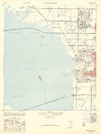 1947 Gandy Bridge1947 Print · USGSHillsborough County's coastline and military landscape are captured here in the years following World War II. Researchers can trace the development of Drew Field and early residential subdivisions like Beach Park and Bel Mar along Old Tampa Bay.2 unique versions available
 - 1947 Map of Safety Harbor, 1952 Print
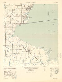 1947 Safety Harbor1952 Print · USGSThe western shores of Old Tampa Bay appear here in the mid-1940s, highlighting a landscape transitioning from agricultural precincts to a strategic military hub. Researchers can locate the sprawling Pinellas Army Airfield, the town of Safety Harbor, and the path of the Davis Causeway.2 unique versions available
 - 1952 Map of Safety Harbor
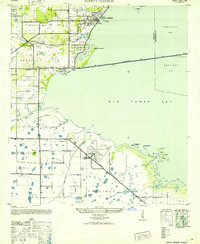 1952 Safety Harbor1952 Print · USGSCoastal Pinellas County comes into focus during the early postwar years, showing a landscape of small settlements and military aviation. Trace the historic route of the Davis Causeway and its Toll House, or locate the runways of the Pinellas Army Airfield.
 - 1956 Map of Safety Harbor, 1957 Print
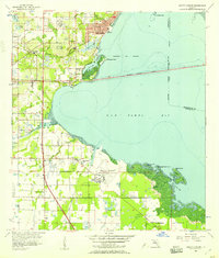 1956 Safety Harbor1957 Print · USGSPinellas County's eastern shore is captured in the mid-fifties, showing the growth of coastal towns before the era of intensive development. Genealogists and historians can locate early family landmarks like McMullen Cem, the Drive-in Theater, and Safety Harbor.5 unique versions available
 - 1956 Map of Gandy Bridge, 1957 Print
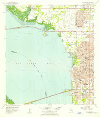 1956 Gandy Bridge1957 Print · USGSThe Tampa waterfront and Interbay Peninsula are seen here during a period of post-war suburban expansion. Genealogists and local historians can trace mid-century growth through schools like Plant High Sch and industrial sites at Rattlesnake.6 unique versions available
 - 1956 Map of Tampa, 1964 Print
 1956 Tampa1964 Print · USGSThe Florida Gulf Coast thrived in the mid-fifties, from the bustling docks of Tampa to the quiet shores of Sanibel. Genealogists and historians can trace old rail lines like the Atlantic Coast Line or find early layouts of Port Charlotte and Bokeelia.2 unique versions available
 - 1959 Map of Tampa
 1959 Tampa1959 Print · USGSThe Florida Gulf Coast appears in this late fifties survey during a period of steady coastal growth and established rail commerce. Researchers can trace historic neighborhoods and transit lines from Tampa to St Petersburg, or locate landmarks like Mac Dill AFB and Boca Grande.
 - 1960 Map of Tampa
 1960 Tampa1960 Print · USGSThe Florida Gulf Coast was undergoing a major transformation at the start of the sixties, with new bridges linking burgeoning cities across the bays. Researchers can trace the mid-century footprints of St Petersburg and Tampa, or locate coastal landmarks like Mac Dill AFB and the Sunshine Skyway.2 unique versions available
 - 1972 Map of Tampa, 1974 Print
 1972 Tampa1974 Print · USGSThe Florida Gulf Coast appears in a period of significant growth during the early seventies, from the urban centers of the bay to the quiet southern keys. Researchers can trace the expansion of St Petersburg or locate family sites near Safety Harbor, Valrico, and Boca Ciega.
 - 1981 Map of St Petersburg, 1983 Print
 1981 St Petersburg1983 Print · USGSThe Tampa Bay region is shown here in the early eighties as the urban centers of St Petersburg and Tampa expanded along the coastline. Genealogists and historians can trace rail lines like the Seaboard Coast Line and landmarks from Mac Dill Air Force Base to the Sunshine Skyway.
 - 1988 Map of St Petersburg
 1988 St Petersburg1988 Print · USGSThe Florida Gulf Coast reached a peak of late-twentieth-century development as seen in this late-1980s look at the growing corridor from St Petersburg to Port Charlotte. Researchers can trace the expansion of coastal infrastructure, including MacDill Air Force Base, the Seaboard System RR, and regional parks like Fort De Soto Park.
 - 1998 Map of Safety Harbor, 2001 Print
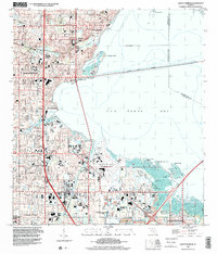 1998 Safety Harbor2001 Print · USGSThe Pinellas County coastline was heavily developed by the late nineties, featuring a network of schools and civic spaces along Old Tampa Bay. Genealogists and local historians can trace legacy sites like the McMullen Cem and Haines Road Ch alongside the Saint Petersburg-Clearwater International Airport.
 - 1998 Map of Gandy Bridge, 2002 Print
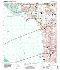 1998 Gandy Bridge2002 Print · USGSTampa and the Interbay Peninsula are shown in the late nineties as a fully integrated hub of aviation and coastal transit. Genealogists and local historians can trace the development of neighborhood schools like Plant High Sch or locate the American Legion Cem and Drew Park.
 - 2012 Map of Safety Harbor, 2012 Print
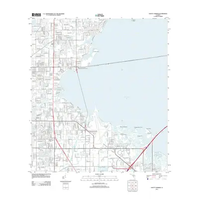 2012 Safety Harbor2012 Print · USGSCoastal Pinellas County comes into focus in the early twenty-first century as suburban neighborhoods and major transit routes wrap around the inlets of Old Tampa Bay. Researchers can trace local heritage at Sylvan Abbey Memorial Park Cem or locate the grounds of Florida Beacon Bible College.
 - 2012 Map of Gandy Bridge, 2012 Print
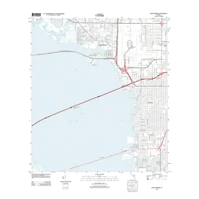 2012 Gandy Bridge2012 Print · USGSCoastal Florida in the early 21st century comes to life through this detailed look at the bay's major crossings and urban expansions. Researchers can pinpoint landmarks like Raymond James Stadium or trace local history at the American Legion Cem.
 - 2015 Map of Safety Harbor, 2015 Print
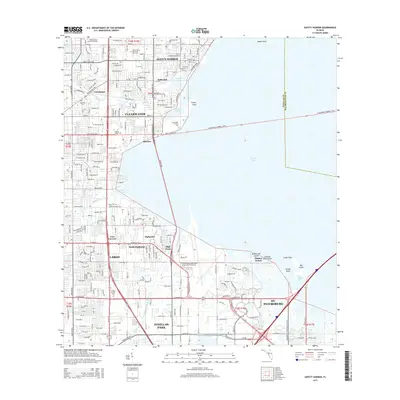 2015 Safety Harbor2015 Print · USGSThe Pinellas County coastline and its sprawling suburban interior are captured here during a period of intense modern development. Researchers can trace local heritage through landmarks like Sylvan Abbey Memorial Park Cem, McMullen Cem, and the historic waterfront of Safety Harbor.
 - 2015 Map of Gandy Bridge, 2015 Print
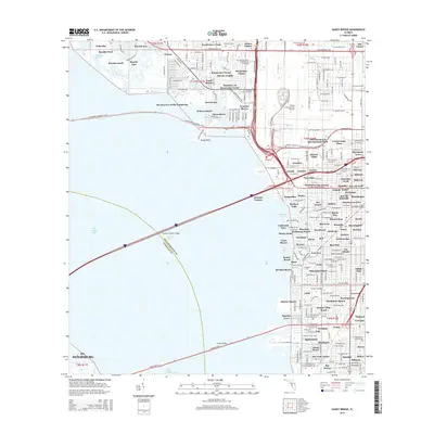 2015 Gandy Bridge2015 Print · USGSCoastal Tampa and the shores of Old Tampa Bay are captured here during a period of significant suburban and infrastructure density. Researchers can trace the developed waterfronts of Dana Shores and Palm Bay or locate landmarks like Tampa International Airport.
 - 2018 Map of Safety Harbor, 2018 Print
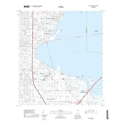 2018 Safety Harbor2018 Print · USGSThe Pinellas peninsula and the waters of Old Tampa Bay are shown here in the late 2010s during a period of intense coastal development. Researchers can trace neighborhood growth in Clearwater and Oldsmar or locate family sites at McMullen Cem.
 - 2018 Map of Gandy Bridge, 2018 Print
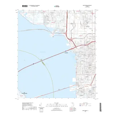 2018 Gandy Bridge2018 Print · USGSThe shorelines of Tampa Bay are captured here in the late 2010s as the urban corridor reaches full density. Local researchers can trace the developed grid from Drew Park down to the Interbay Peninsula, or locate landmarks like American Legion Cem and Rattlesnake.
 - 2021 Map of Safety Harbor, 2021 Print
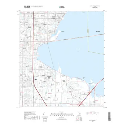 2021 Safety Harbor2021 Print · USGSThe Pinellas County coastline comes into sharp focus in this recent survey of the bustling corridor between Tampa Bay and the Gulf. Genealogists and local historians can pinpoint McMullen Cem, the St Pete-Clearwater International Airport, and Safety Harbor.
 - 2021 Map of Gandy Bridge, 2021 Print
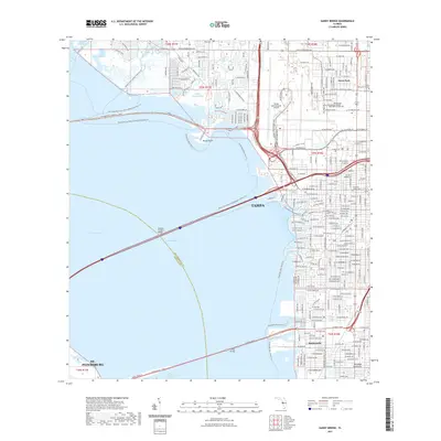 2021 Gandy Bridge2021 Print · USGSTampa and its bayside neighborhoods come alive in this 2021 study of the city's complex coastal infrastructure. Researchers can trace the modern development of Drew Park, Rattlesnake, and the busy corridors surrounding Tampa International Airport.
 - 2024 Map of Safety Harbor, 2024 Print
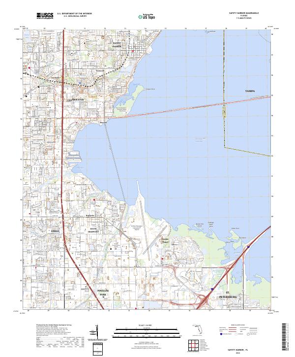 2024 Safety Harbor2024 Print · USGSThe Pinellas County shoreline during the early twenty-first century reveals a landscape of dense coastal suburbanization. Trace local history through Safety Harbor Cem, the St Pete-Clearwater International Airport, and the Cross Bayou Canal.
Showing maps 1-25 of 26
Top cities near Feather Sound
- Tampa historical maps
- Saint Petersburg historical maps
- Clearwater historical maps
- Largo historical maps
- Palm Harbor historical maps
- Pinellas Park historical maps
See more
Frequently asked questions
- What are the different types of historical maps available for Feather Sound?
- What is the oldest map of Feather Sound?
- Where can I purchase historical maps of Feather Sound for my home or office?
- Where can I download high-res historical maps of Feather Sound?
- Are there historical topographic maps available for Feather Sound?
- Is there historical aerial imagery available for Feather Sound?
- Where are historical maps of Feather Sound sourced from?