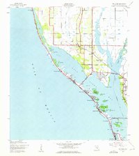
1943 Map of Bay Pines
USGS Topo · Published 1961About this map
Boca Ciega Bay and the barrier islands of Sand Key and Treasure Island dominate this coastal landscape during the early 1940s. The shoreline is characterized by a series of nascent beach communities including Indian Rocks Beach, Redington Beach, and Madeira Beach, connected to the mainland via the Welch Causeway and the Treasure I Causeway (Toll). Inland, the area around Seminole and Oakhurst remains largely agricultural and rural, dotted with local landmarks like the Seminole Sch and Seminole Ch.
Find a feature on this map
55 named features on this map. Tap any name to fly to it.
Don’t see what you’re looking for? This feature index may not catch every label — zoom into the map to look around manually.
Map Details
Editions of this 1943 Bay Pines Map
3 editions found
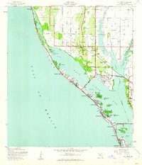
Other maps of this area

1921 · Sand Key
USGS Topo · 1:62,500

1921 · Fort De Soto
USGS Topo · 1:62,500

1921 · St Petersburg
USGS Topo · 1:62,500

1943 · St Petersburg
USGS Topo · 1:31,680

1943 · Pass-A-Grille
USGS Topo · 1:31,680

1943 · Bay Pines
USGS Topo · 1:31,680

1943 · Safety Harbor
USGS Topo · 1:31,680

1943 · Clearwater
USGS Topo · 1:24,000

1947 · St Petersburg
USGS Topo · 1:25,000
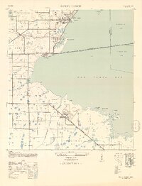
1947 · Safety Harbor
USGS Topo · 1:24,000