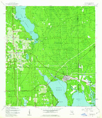
1944 Map of Oldsmar
USGS Topo · Published 1944About this map
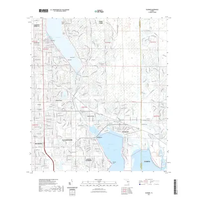
Lake Butler and the upper reaches of Safety Harbor dominate this mid-century coastal landscape, where the transition from citrus groves and dense woodland to early residential development is underway. The town of Oldsmar is situated at the head of the bay, served by the Seaboard Air Line and the Memorial Hwy, which is noted as being under construction. To the west, rural community life centers around the Curlew School and Curlew Ch, while small settlements like Bridgeport and Mecca appear as isolated points along the developing road network.
Find a feature on this map
58 named features on this map. Tap any name to fly to it.
Don’t see what you’re looking for? This feature index may not catch every label — zoom into the map to look around manually.
Map Details
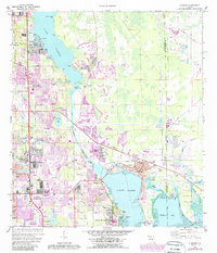
Editions of this 1944 Oldsmar Map
This is the sole edition of this map. No revisions or reprints were ever made.
Historical Maps of Clearwater Through Time
9 maps found