
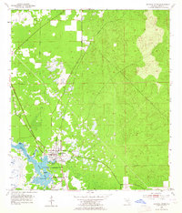
1954 Map of Crystal River
USGS Topo · Published 1955About this map
The Gulf coast town of Crystal River serves as the focal point of this mid-1950s survey, illustrating a community defined by its spring-fed waters and coastal geography. The residential and commercial grid centers on the Atlantic Coast Line railroad and the town's namesake waterway, which flows westward into Kings Bay. Local landmarks like Hunter Spring and Crystal Spring are clearly delineated, showing the natural freshwater sources that have historically shaped local development and recreation.
Find a feature on this map
13 named features on this map. Tap any name to fly to it.
Don’t see what you’re looking for? This feature index may not catch every label — zoom into the map to look around manually.
Map Details
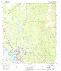
Editions of this 1954 Crystal River Map
3 editions found
Other maps of this area

1892 · Dunnellon
USGS Topo · 1:62,500

1894 · Dunnellon
USGS Topo · 1:62,500

1895 · Tsala Apopka
USGS Topo · 1:62,500

1954 · Lecanto
USGS Topo · 1:24,000

1954 · Homosassa
USGS Topo · 1:24,000

1954 · Holder
USGS Topo · 1:24,000

1954 · Dunnellon
USGS Topo · 1:24,000

1954 · Red Level
USGS Topo · 1:24,000

1954 · Yankeetown SE
USGS Topo · 1:24,000

1954 · Ozello
USGS Topo · 1:24,000