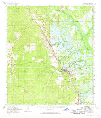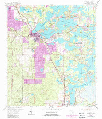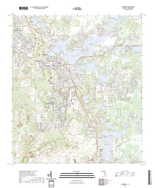
1979 Map of Inverness
USGS Topo · Published 1980About this map
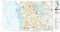
The Gulf Coast of West Central Florida meets a labyrinth of freshwater systems in this detailed survey, where the Chassahowitzka National Wildlife Refuge preserves a complex shoreline of keys and points including Raccoon Point and Pompano Key. Inland, the hydrologic character of the region is dominated by the sprawling Tsala Apoka Lake and the Withlacoochee River, which forms the boundary between Citrus and Marion counties. The map reflects a period of established transport and land use, showing the Seaboard Coast Line railroad threading through settlements like Wildwood and Saint Catherine. Extensive tracts of the Withlacoochee State Forest are interspersed with smaller towns such as Inverness, Floral City, and Homosassa Springs, illustrating the era's balance between conservation land and growing residential centers near the Suncoast.
Find a feature on this map
95 named features on this map. Tap any name to fly to it.
Don’t see what you’re looking for? This feature index may not catch every label — zoom into the map to look around manually.
Map Details
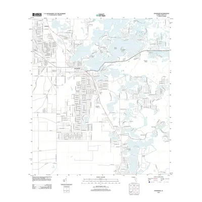
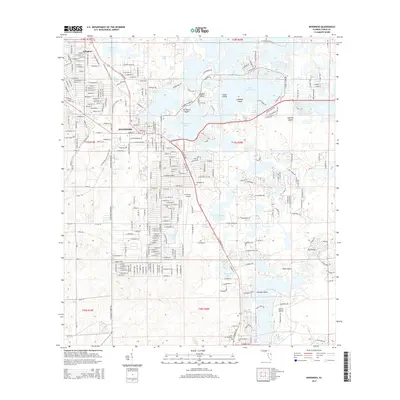
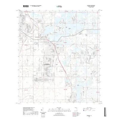
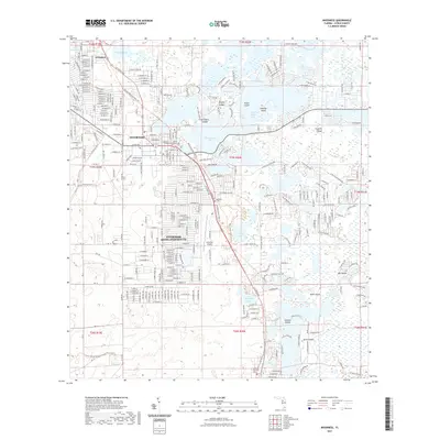
Editions of this 1979 Inverness Map
2 editions found
Historical Maps of The Villages Through Time
8 maps found