
1954 Map of Brooksville NW
USGS Topo · Published 1955About this map
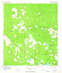
The boundary between Citrus and Hernando counties runs through this landscape of prairies and hammocks during the mid-1950s. The Seaboard Air Line railroad provides a primary transport corridor, passing by Stafford Siding and the settlement of Catawba. Local life is anchored by community institutions like Hebron Ch, Shiloh Ch, and the Hammock Sch. The terrain is characterized by numerous water features and karst topography, including Lizzie Hart Sink, Brush Sink, and Stage Pond near the Stage Pond Cem. In the southeast, the Chinsegut National Wildlife Refuge preserves the native character of the Annutteliga Hammock, while several quarries throughout the area indicate active resource extraction during this era.
Find a feature on this map
29 named features on this map. Tap any name to fly to it.
Don’t see what you’re looking for? This feature index may not catch every label — zoom into the map to look around manually.
Map Details
Editions of this 1954 Brooksville NW Map
4 editions found
Other maps of this area

1895 · Tsala Apopka
USGS Topo · 1:62,500

1954 · Lecanto
USGS Topo · 1:24,000

1954 · Homosassa
USGS Topo · 1:24,000

1954 · Nobleton
USGS Topo · 1:24,000

1954 · Brooksville
USGS Topo · 1:24,000

1954 · Chassahowitzka
USGS Topo · 1:24,000

1954 · Inverness
USGS Topo · 1:24,000

1954 · Brooksville SE
USGS Topo · 1:24,000

1954 · Weekiwachee Springs
USGS Topo · 1:24,000

1954 · Inverness
USGS Topo · 1:62,500