
1954 Map of Weekiwachee Springs
USGS Topo · Published 1955About this map
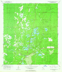
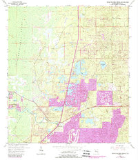
Weekiwachee Springs serves as the focal point for this mid-century portrait of Hernando County, where the freshwater discharge feeds the westward-flowing Weekiwachee River. The landscape transition from the dry, sandy uplands of the east to the tidally influenced Chassahowitzka Swamp is documented with precision. To the north, the Chassahowitzka National Wildlife Refuge dominates the coastline, preserving a complex of marshes and creek systems like Mud Salt Creek. Settlement is concentrated at the small community of Berkeley in the south, while the interior is punctuated by numerous named water bodies including Tooke Lake, Whitehurst Pond, and Grear Hope Pond. This survey, compiled from 1951 aerial photography, illustrates the Gulf Coast's natural hydrology and early roadway network before the extensive suburban development of later decades.
Find a feature on this map
12 named features on this map. Tap any name to fly to it.
Don’t see what you’re looking for? This feature index may not catch every label — zoom into the map to look around manually.
Map Details
Editions of this 1954 Weekiwachee Springs Map
3 editions found
Other maps of this area

1954 · Chassahowitzka Bay
USGS Topo · 1:24,000

1954 · Brooksville NW
USGS Topo · 1:24,000

1954 · Brooksville
USGS Topo · 1:24,000

1954 · Aripeka
USGS Topo · 1:24,000

1954 · Chassahowitzka
USGS Topo · 1:24,000

1954 · Bayport
USGS Topo · 1:24,000

1954 · Masaryktown
USGS Topo · 1:24,000

1954 · Port Richey NE
USGS Topo · 1:24,000

1955 · Plant City
USGS Topo · 1:250,000

1958 · Plant City
USGS Topo · 1:250,000