
1954 Map of Aripeka
USGS Topo · Published 1955About this map
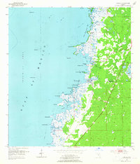
The coastal settlement of Aripeka straddles the boundary between Hernando Co and Pasco Co, surrounded by a labyrinthine network of keys and bayous. This mid-century survey reveals a Gulf Coast landscape characterized by tidal marsh and scattered hammock islands, including Palm Island and Hammock Island. The complex shoreline is dotted with named points such as Gun Point and Dinner Point, while the interior shows the proximity of Hunters Lake and a series of Gravel Pits.
Find a feature on this map
40 named features on this map. Tap any name to fly to it.
Don’t see what you’re looking for? This feature index may not catch every label — zoom into the map to look around manually.
Map Details
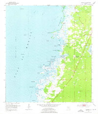
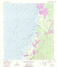
Editions of this 1954 Aripeka Map
4 editions found
Other maps of this area

1954 · Port Richey
USGS Topo · 1:24,000

1954 · Fivay
USGS Topo · 1:24,000

1954 · Bayport
USGS Topo · 1:24,000

1954 · Weekiwachee Springs
USGS Topo · 1:24,000

1954 · Port Richey NE
USGS Topo · 1:24,000

1955 · Plant City
USGS Topo · 1:250,000

1958 · Plant City
USGS Topo · 1:250,000

1959 · Plant City
USGS Topo · 1:250,000

1964 · Plant City
USGS Topo · 1:250,000
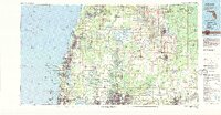
1978 · Tarpon Springs
USGS Topo · 1:100,000