
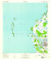
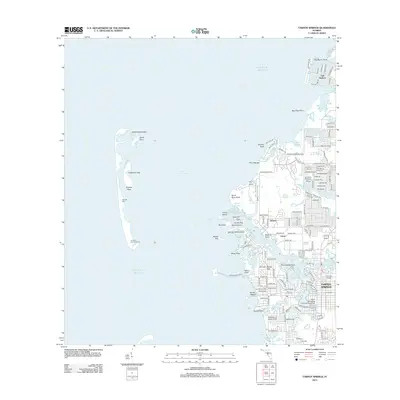
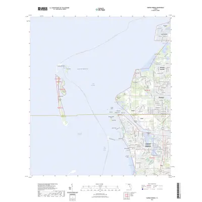
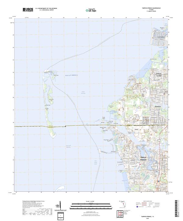
1978 Map of Tarpon Springs
USGS Topo · Published 1982About this map
The coastal transition from the Gulf of Mexico to the inland swamps of Central Florida defines this late-1970s landscape. From the developed hubs of Tampa, Clearwater, and Tarpon Springs along the Intracoastal Waterway, the map traces the northward expansion into New Port Richey and Hudson. Significant military and conservation footprints are visible, including the Anclote Missile Tracking Annex (US Air Force) near the Anclote Keys and the sprawling Green Swamp Wildlife Management Area to the east.
Find a feature on this map
67 named features on this map. Tap any name to fly to it.
Don’t see what you’re looking for? This feature index may not catch every label — zoom into the map to look around manually.
Map Details
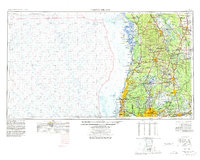
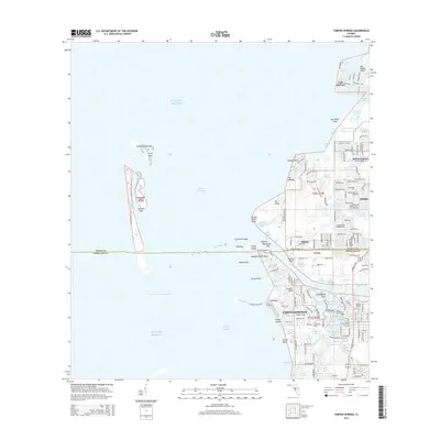
Editions of this 1978 Tarpon Springs Map
This is the sole edition of this map. No revisions or reprints were ever made.
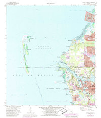
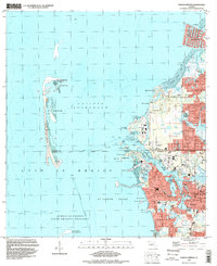
Historical Maps of Tampa Through Time
11 maps found
1943 Tarpon Springs
Pinellas County, FL
1955 Tarpon Springs
Pinellas County, FL
1973 Tarpon Springs
Pinellas County, FL
1978 Tarpon Springs
Pinellas County, FL
1995 Tarpon Springs
Pinellas County, FL
2012 Tarpon Springs
Pinellas County, FL
2015 Tarpon Springs
Pinellas County, FL
2018 Tarpon Springs
Pinellas County, FL
2021 Tarpon Springs
Pinellas County, FL
2024 Tarpon Springs
Pinellas County, FL
2025 Tarpon Springs
Pinellas County, FL