
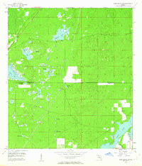
1954 Map of Port Richey NE
USGS Topo · Published 1955About this map
The low-lying karst landscape of the Florida Gulf Coastal Plain is the defining characteristic of this mid-century survey. Spanning the boundary between Hernando and Pasco Counties, the terrain is heavily marked by numerous sinks and depressions typical of the region's limestone geology, including Rock Sink and Coffee Sink. These features often fill with water to form seasonal wetlands and permanent water bodies like Hog Pond and Blue Sink Pond.
Find a feature on this map
21 named features on this map. Tap any name to fly to it.
Don’t see what you’re looking for? This feature index may not catch every label — zoom into the map to look around manually.
Map Details
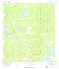
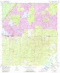
Editions of this 1954 Port Richey NE Map
4 editions found
Other maps of this area

1954 · Ehren
USGS Topo · 1:24,000

1954 · Port Richey
USGS Topo · 1:24,000

1954 · Fivay
USGS Topo · 1:24,000

1954 · Brooksville
USGS Topo · 1:24,000

1954 · Aripeka
USGS Topo · 1:24,000

1954 · Bayport
USGS Topo · 1:24,000

1954 · Masaryktown
USGS Topo · 1:24,000

1954 · Weekiwachee Springs
USGS Topo · 1:24,000

1955 · Plant City
USGS Topo · 1:250,000

1958 · Plant City
USGS Topo · 1:250,000