
1954 Map of Port Richey
USGS Topo · Published 1955About this map
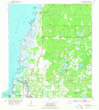
The Pithlachascotee River winds through the heart of Port Richey and New Port Richey on this mid-century survey of the Pasco County coast. The map illustrates a complex transition between the saltwater marshes of the Gulf of Mexico and the inland hammocks and freshwater lakes. Along the irregular shoreline, intricate waterways like Millers Bayou, Salt Springs Run, and Sponge Crawl Cr reflect a landscape shaped by coastal hydrology before the period of major residential canal development.
Find a feature on this map
51 named features on this map. Tap any name to fly to it.
Don’t see what you’re looking for? This feature index may not catch every label — zoom into the map to look around manually.
Map Details
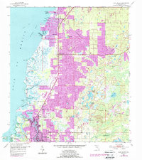
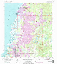
Editions of this 1954 Port Richey Map
4 editions found
Other maps of this area

1943 · Tarpon Springs
USGS Topo · 1:31,680

1943 · Odessa
USGS Topo · 1:24,000

1943 · Elfers
USGS Topo · 1:24,000

1944 · Elfers
USGS Topo · 1:31,680

1944 · Odessa
USGS Topo · 1:31,680

1948 · Elfers
USGS Topo · 1:25,000

1949 · Odessa
USGS Topo · 1:25,000

1954 · Fivay
USGS Topo · 1:24,000

1954 · Aripeka
USGS Topo · 1:24,000

1954 · Port Richey NE
USGS Topo · 1:24,000