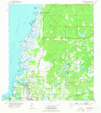
1954 Map of Port Richey
USGS Topo · Published 1965About this map
The Pithlachascotee River winds through this coastal landscape, anchoring the developing communities of Port Richey and New Port Richey during the mid-1950s. The map reveals a transition from the structured street grids of these southern settlements to the more dispersed hubs of Bayonet Point and Hudson to the north. Local history is preserved in the presence of the Booker T Washington Sch and Union Ch, while the Hudson Cem and Stark Cem provide essential data for genealogical research. Along the intricate Gulf coastline, numerous inlets and landmarks such as Millers Bayou, Skeleton Key, and Buzzards Roost illustrate the region's complex marshy topography. Further inland, a network of freshwater bodies including Orchid Lake and Worley Lakes suggests a landscape defined by its high water table and natural drainage patterns prior to later twentieth-century development.
Find a feature on this map
50 named features on this map. Tap any name to fly to it.
Don’t see what you’re looking for? This feature index may not catch every label — zoom into the map to look around manually.
Map Details
Editions of this 1954 Port Richey Map
4 editions found
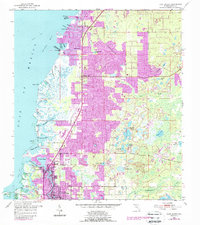
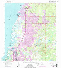
Other maps of this area

1943 · Tarpon Springs
USGS Topo · 1:31,680

1943 · Odessa
USGS Topo · 1:24,000

1943 · Elfers
USGS Topo · 1:24,000

1944 · Elfers
USGS Topo · 1:31,680

1944 · Odessa
USGS Topo · 1:31,680

1948 · Elfers
USGS Topo · 1:25,000

1949 · Odessa
USGS Topo · 1:25,000

1954 · Port Richey
USGS Topo · 1:24,000

1954 · Fivay
USGS Topo · 1:24,000

1954 · Aripeka
USGS Topo · 1:24,000