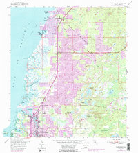
1954 Map of Port Richey
USGS Topo · Published 1988About this map
Port Richey and the Pithlachascotee River serve as the focal point for this coastal Pasco County study, which reflects the early 1950s landscape with substantial updates from the late 1980s. The shoreline is a complex network of wetlands and inlets, including Millers Bayou and Salt Springs Run, while the inland area is punctuated by dozens of small bodies of water like Hudson Lake and Dead Cypress Lake.
Find a feature on this map
54 named features on this map. Tap any name to fly to it.
Don’t see what you’re looking for? This feature index may not catch every label — zoom into the map to look around manually.
Map Details
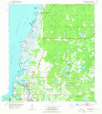
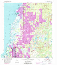
Editions of this 1954 Port Richey Map
4 editions found
Other maps of this area

1943 · Tarpon Springs
USGS Topo · 1:31,680

1943 · Odessa
USGS Topo · 1:24,000

1943 · Elfers
USGS Topo · 1:24,000

1944 · Elfers
USGS Topo · 1:31,680

1944 · Odessa
USGS Topo · 1:31,680

1948 · Elfers
USGS Topo · 1:25,000

1949 · Odessa
USGS Topo · 1:25,000

1954 · Port Richey
USGS Topo · 1:24,000

1954 · Fivay
USGS Topo · 1:24,000

1954 · Aripeka
USGS Topo · 1:24,000