Loading...
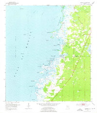
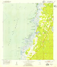
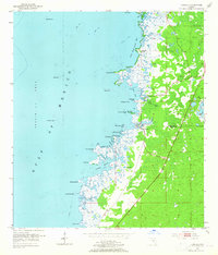
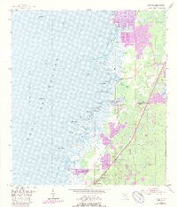
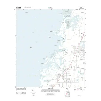
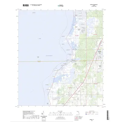
Loading map...1954 Map of Aripeka
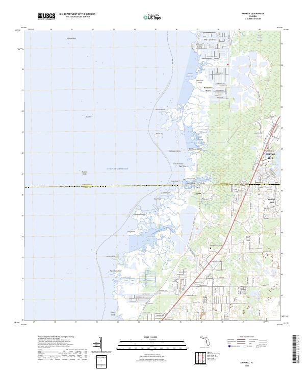
USGS Topo · Published 1976About this map
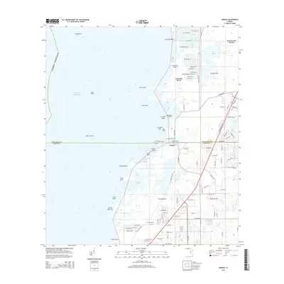
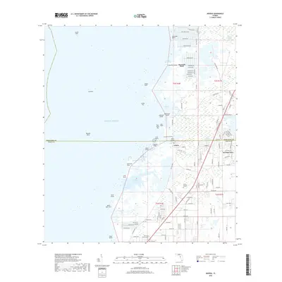
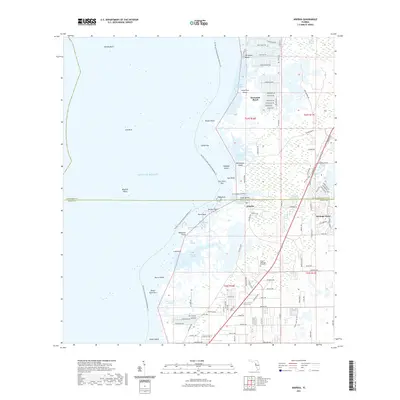
Aripeka sits at the intersection of the Hernando Co Pasco Co line, serving as a primary point of human activity along a complex labyrinth of coastal marshes and limestone outcroppings. The landscape here is defined by an intricate network of tidal waterways such as Indian Bay and Fillman Bayou, where the gulf waters meet the Florida mainland through features like The Cutoff. Inland, the presence of Gravel Pits suggests local industry amidst the low-lying terrain.
Find a feature on this map
34 named features on this map. Tap any name to fly to it.
Don’t see what you’re looking for? This feature index may not catch every label — zoom into the map to look around manually.
Map Details
Date Portrayed1954
Date Published1976
PublisherU.S. Geological Survey
Map TypeTopographic
Scale1:24,000
Physical Dimensions23 x 26.8 inches
Editions of this 1954 Aripeka Map
4 editions found
Historical Maps of Weekiwachee Gardens Through Time
7 maps found
Featured Locations
Source Details
SourceU.S. Geological Survey
CopyrightPublic Domain