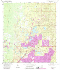
1954 Map of Weeki Wachee Spring
USGS Topo · Published 1988About this map
Weeki Wachee Spring serves as the focal point of this coastal Florida landscape, where freshwater systems meet the vast expanse of the Chassahowitzka Swamp and the Weeki Wachee Swamp. The hydrology of the region is intricately detailed, showing the Weeki Wachee River flowing westward toward the Gulf, alongside numerous named basins like Great Hope Pond, Tooke Lake, and the curiously named Coon Wallow.
Find a feature on this map
15 named features on this map. Tap any name to fly to it.
Don’t see what you’re looking for? This feature index may not catch every label — zoom into the map to look around manually.
Map Details
Editions of this 1954 Weeki Wachee Spring Map
3 editions found
Other maps of this area

1954 · Chassahowitzka Bay
USGS Topo · 1:24,000

1954 · Brooksville NW
USGS Topo · 1:24,000

1954 · Brooksville
USGS Topo · 1:24,000

1954 · Aripeka
USGS Topo · 1:24,000

1954 · Chassahowitzka
USGS Topo · 1:24,000

1954 · Bayport
USGS Topo · 1:24,000

1954 · Masaryktown
USGS Topo · 1:24,000

1954 · Weekiwachee Springs
USGS Topo · 1:24,000

1954 · Port Richey NE
USGS Topo · 1:24,000

1955 · Plant City
USGS Topo · 1:250,000