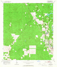
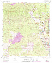
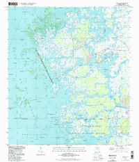
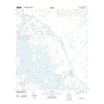
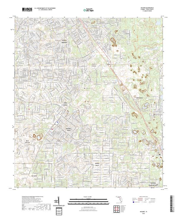
1954 Map of Holder
USGS Topo · Published 1966About this map
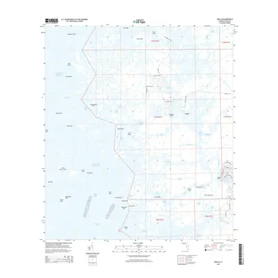
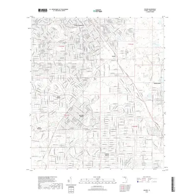
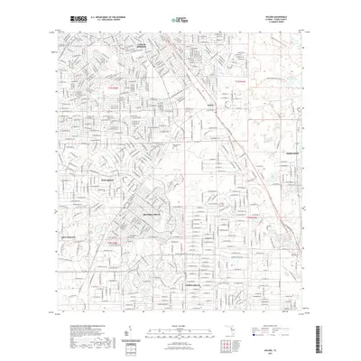
Phosphate mining and transit corridors define this central Florida landscape during the mid-1950s. The eastern edge of the survey is dominated by the sprawling wetlands of Tsala Apopka Lake and the smaller Twomile Prairie Lake, while the interior terrain is marked by numerous excavation sites simply labeled Mine. These industrial operations are closely tied to the region's rail network, with the Atlantic Coast Line and Seaboard Air Line cutting through the territory to service small industrial outposts.
Find a feature on this map
13 named features on this map. Tap any name to fly to it.
Don’t see what you’re looking for? This feature index may not catch every label — zoom into the map to look around manually.
Map Details
Editions of this 1954 Holder Map
3 editions found
Historical Maps of Pine Ridge Through Time
42 maps found
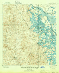
1895 Tsala Apopka
Citrus County, FL
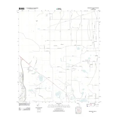
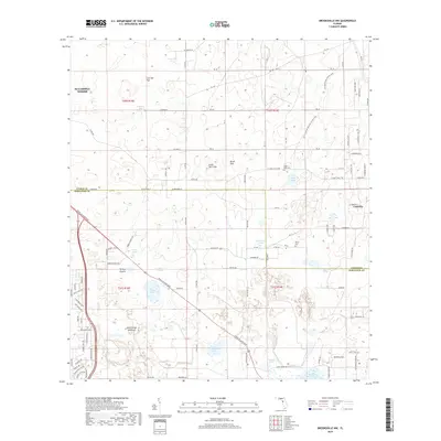
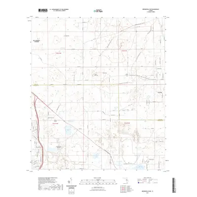
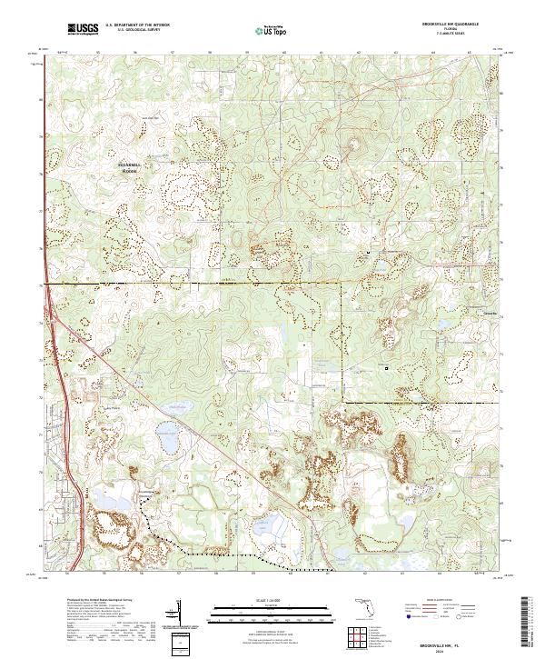
1954 Brooksville NW
Citrus County, FL
1954 Holder
Citrus County, FL
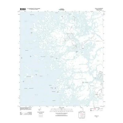
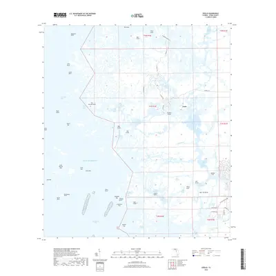
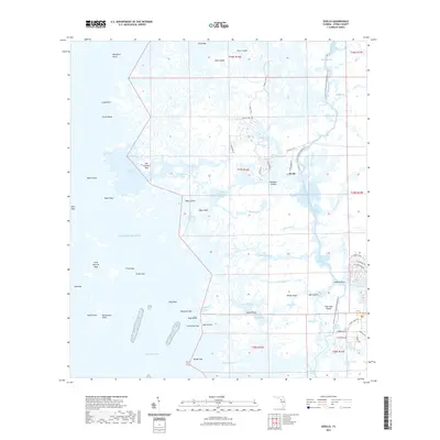
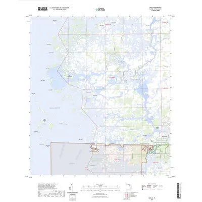
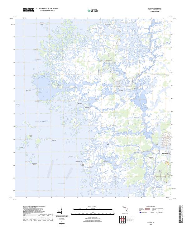
1954 Ozello
Citrus County, FL
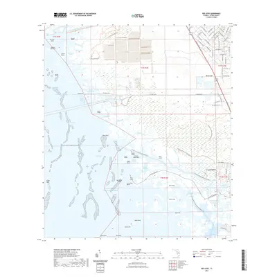
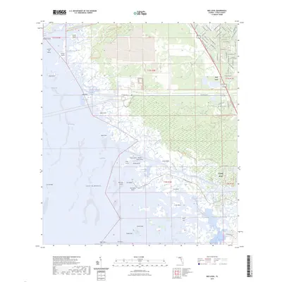
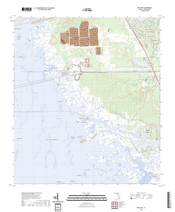
1954 Red Level
Citrus County, FL
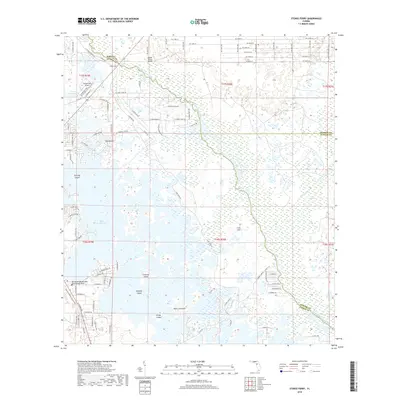
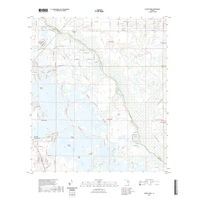
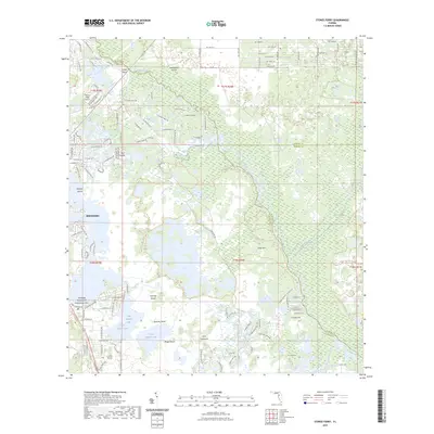
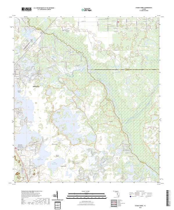
1954 Stokes Ferry
Citrus County, FL
1994 Ozello
Citrus County, FL
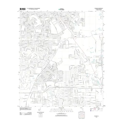
2012 Brooksville NW
Citrus County, FL
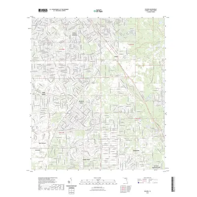
2012 Holder
Citrus County, FL
2012 Ozello
Citrus County, FL

2012 Red Level
Citrus County, FL
2012 Stokes Ferry
Citrus County, FL
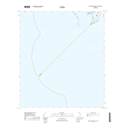
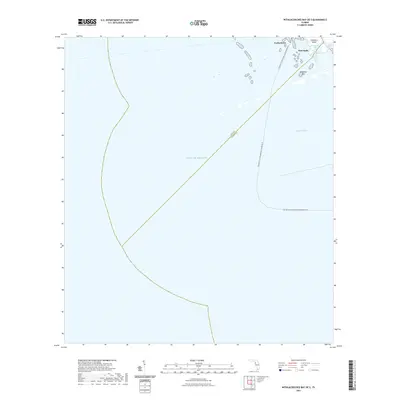
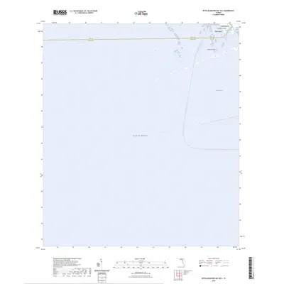
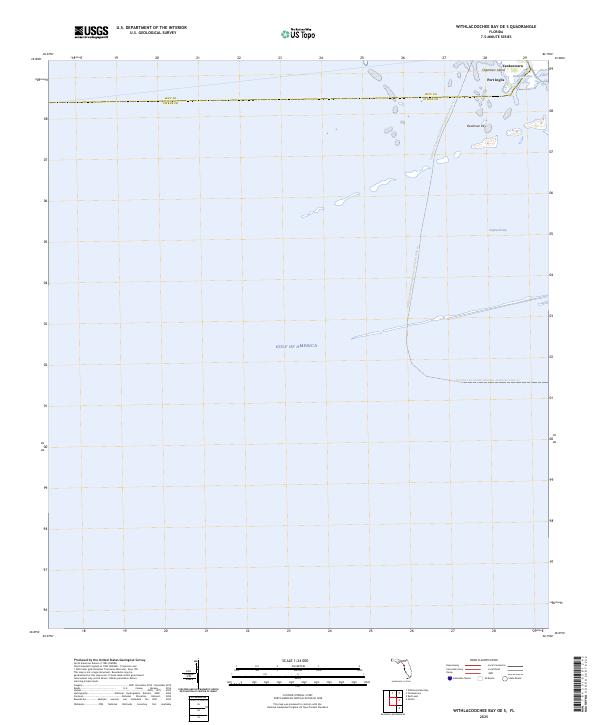
2012 Withlacoochee Bay OE S
Citrus County, FL
2015 Brooksville NW
Citrus County, FL
2015 Holder
Citrus County, FL
2015 Ozello
Citrus County, FL
2015 Red Level
Citrus County, FL
2015 Stokes Ferry
Citrus County, FL
2015 Withlacoochee Bay OE S
Citrus County, FL
2018 Brooksville NW
Citrus County, FL
2018 Holder
Citrus County, FL
2018 Ozello
Citrus County, FL

2018 Red Level
Citrus County, FL
2018 Stokes Ferry
Citrus County, FL
2018 Withlacoochee Bay OE S
Citrus County, FL
2021 Brooksville NW
Citrus County, FL
2021 Holder
Citrus County, FL
2021 Ozello
Citrus County, FL
2021 Red Level
Citrus County, FL
2021 Stokes Ferry
Citrus County, FL
2021 Withlacoochee Bay OE S
Citrus County, FL
2023 Holder
Citrus County, FL
2023 Stokes Ferry
Citrus County, FL
2024 Brooksville NW
Citrus County, FL
2024 Holder
Citrus County, FL
2024 Ozello
Citrus County, FL
2024 Red Level
Citrus County, FL
2024 Stokes Ferry
Citrus County, FL
2024 Withlacoochee Bay OE S
Citrus County, FL
2025 Ozello
Citrus County, FL
2025 Red Level
Citrus County, FL
2025 Withlacoochee Bay OE S
Citrus County, FL