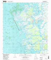
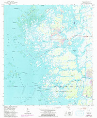
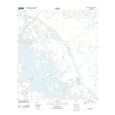
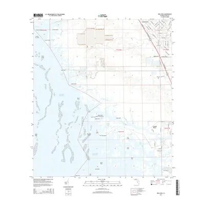
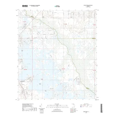
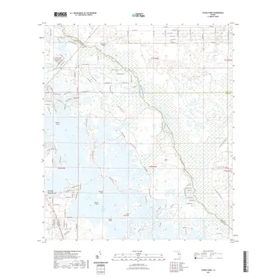
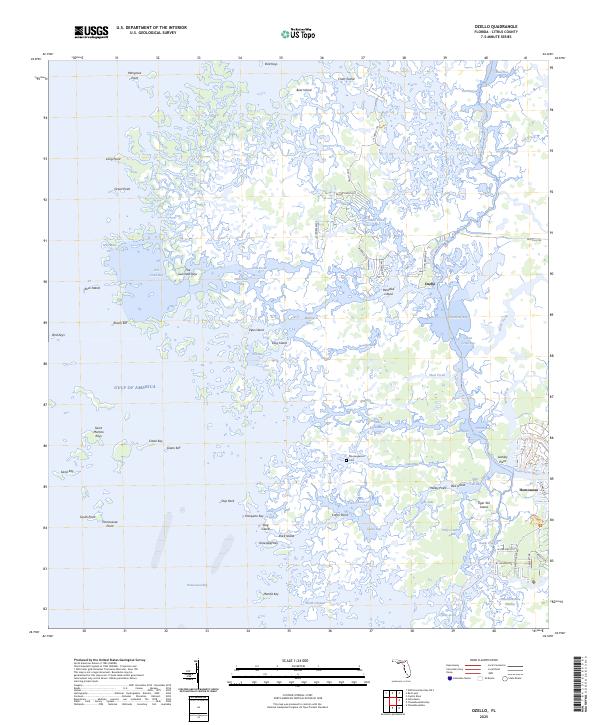
1994 Map of Ozello
USGS Topo · Published 1998About this map
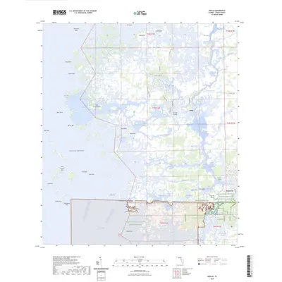
Ozello stands as a focal point of settlement amidst a vast complex of coastal sawgrass and mangrove marsh along Florida's Gulf coast. This 1994 photoinspection records a landscape dominated by the St Martins Marsh State Aquatic Preserve and the northern reaches of the Chassahowitzka National Wildlife Refuge. The map reveals the intricate hydrology of the region, where the Homosassa River and St Martins River meet the Gulf of Mexico through a labyrinth of named channels like The Narrows and Grey Mare Pass.
Find a feature on this map
65 named features on this map. Tap any name to fly to it.
Don’t see what you’re looking for? This feature index may not catch every label — zoom into the map to look around manually.
Map Details
Editions of this 1994 Ozello Map
This is the sole edition of this map. No revisions or reprints were ever made.
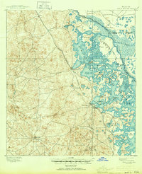
Historical Maps of Ozello Through Time
42 maps found
1895 Tsala Apopka
Citrus County, FL
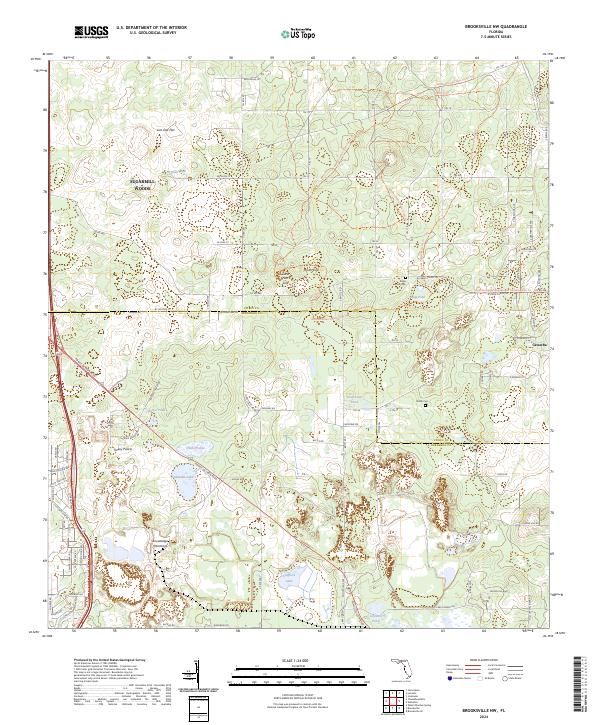
1954 Brooksville NW
Citrus County, FL
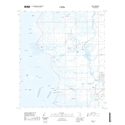
1954 Holder
Citrus County, FL
1954 Ozello
Citrus County, FL
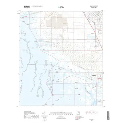
1954 Red Level
Citrus County, FL
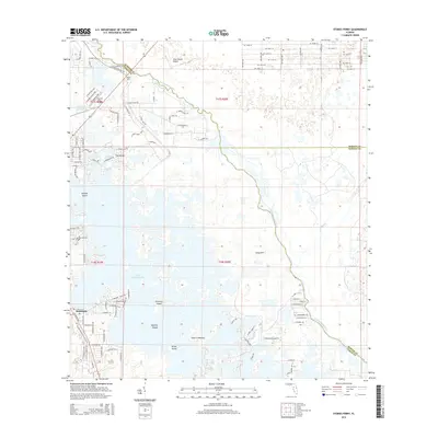
1954 Stokes Ferry
Citrus County, FL
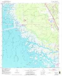
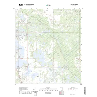
1994 Ozello
Citrus County, FL

2012 Brooksville NW
Citrus County, FL

2012 Holder
Citrus County, FL
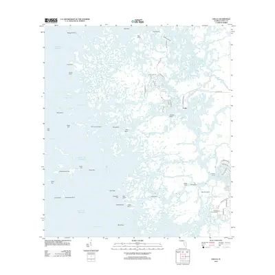
2012 Ozello
Citrus County, FL

2012 Red Level
Citrus County, FL
2012 Stokes Ferry
Citrus County, FL
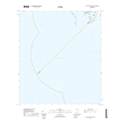
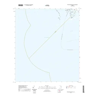
2012 Withlacoochee Bay OE S
Citrus County, FL

2015 Brooksville NW
Citrus County, FL
2015 Holder
Citrus County, FL
2015 Ozello
Citrus County, FL
2015 Red Level
Citrus County, FL
2015 Stokes Ferry
Citrus County, FL
2015 Withlacoochee Bay OE S
Citrus County, FL

2018 Brooksville NW
Citrus County, FL

2018 Holder
Citrus County, FL
2018 Ozello
Citrus County, FL

2018 Red Level
Citrus County, FL
2018 Stokes Ferry
Citrus County, FL
2018 Withlacoochee Bay OE S
Citrus County, FL

2021 Brooksville NW
Citrus County, FL

2021 Holder
Citrus County, FL
2021 Ozello
Citrus County, FL
2021 Red Level
Citrus County, FL
2021 Stokes Ferry
Citrus County, FL
2021 Withlacoochee Bay OE S
Citrus County, FL

2023 Holder
Citrus County, FL
2023 Stokes Ferry
Citrus County, FL
2024 Brooksville NW
Citrus County, FL
2024 Holder
Citrus County, FL
2024 Ozello
Citrus County, FL
2024 Red Level
Citrus County, FL
2024 Stokes Ferry
Citrus County, FL

2024 Withlacoochee Bay OE S
Citrus County, FL
2025 Ozello
Citrus County, FL
2025 Red Level
Citrus County, FL
2025 Withlacoochee Bay OE S
Citrus County, FL