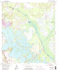
1954 Map of Stokes Ferry
USGS Topo · Published 1988About this map
Stokes Ferry sits at a strategic crossing of the Withlacoochee River, marking a landscape where river navigation and swampy wetlands define the boundaries between Citrus, Marion, and Sumter Counties. In the mid-1950s, the community of Hernando anchored the southwestern edge of this survey, bordered by the expansive waters of Lake Tsala Apopka. The map reveals a mixture of natural water systems and early human intervention, including a Fish Hatchery and several Mines located near the town center. Local landmarks like Gilchrist Island and Briggs Island are visible within the complex lake system, while Point Lonesome and The Pocket suggest the isolation of the surrounding terrain. This era of Florida's interior shows the growth of seasonal infrastructure, such as a Trailer Park and Golf Course, as well as the established presence of a Gaging Station monitoring the river’s flow through Gum Swamp.
Find a feature on this map
22 named features on this map. Tap any name to fly to it.
Don’t see what you’re looking for? This feature index may not catch every label — zoom into the map to look around manually.
Map Details
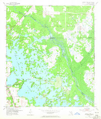
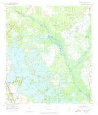
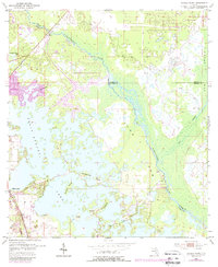
Editions of this 1954 Stokes Ferry Map
5 editions found
Other maps of this area

1892 · Dunnellon
USGS Topo · 1:62,500

1893 · Panasoffkee
USGS Topo · 1:62,500

1894 · Dunnellon
USGS Topo · 1:62,500

1895 · Tsala Apopka
USGS Topo · 1:62,500

1895 · Panasoffkee
USGS Topo · 1:62,500

1895 · Ocala
USGS Topo · 1:62,500

1954 · Lecanto
USGS Topo · 1:24,000

1954 · Holder
USGS Topo · 1:24,000

1954 · Tsala Apopka NE
USGS Topo · 1:24,000

1954 · Dunnellon
USGS Topo · 1:24,000