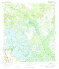
1954 Map of Stokes Ferry
USGS Topo · Published 1973About this map
The Withlacoochee River carves a winding path through the heart of this landscape, serving as a natural boundary between Marion, Citrus, and Sumter counties in the mid-1950s. Near the crossing at Stokes Ferry, a Gaging Sta monitors the flow of this vital Florida waterway. To the southwest, the expansive and marshy waters of Tsala Apopka Lake dominate the terrain, surrounding elevated landforms like Gilchrist Island and Briggs Island.
Find a feature on this map
21 named features on this map. Tap any name to fly to it.
Don’t see what you’re looking for? This feature index may not catch every label — zoom into the map to look around manually.
Map Details
Editions of this 1954 Stokes Ferry Map
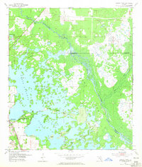
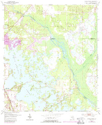
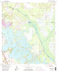
5 editions found
Other maps of this area

1892 · Dunnellon
USGS Topo · 1:62,500

1893 · Panasoffkee
USGS Topo · 1:62,500

1894 · Dunnellon
USGS Topo · 1:62,500

1895 · Tsala Apopka
USGS Topo · 1:62,500

1895 · Panasoffkee
USGS Topo · 1:62,500

1895 · Ocala
USGS Topo · 1:62,500

1954 · Lecanto
USGS Topo · 1:24,000

1954 · Holder
USGS Topo · 1:24,000

1954 · Tsala Apopka NE
USGS Topo · 1:24,000

1954 · Dunnellon
USGS Topo · 1:24,000