2023 Map of Michigan Center
USGS Topo · Published 2023About this map
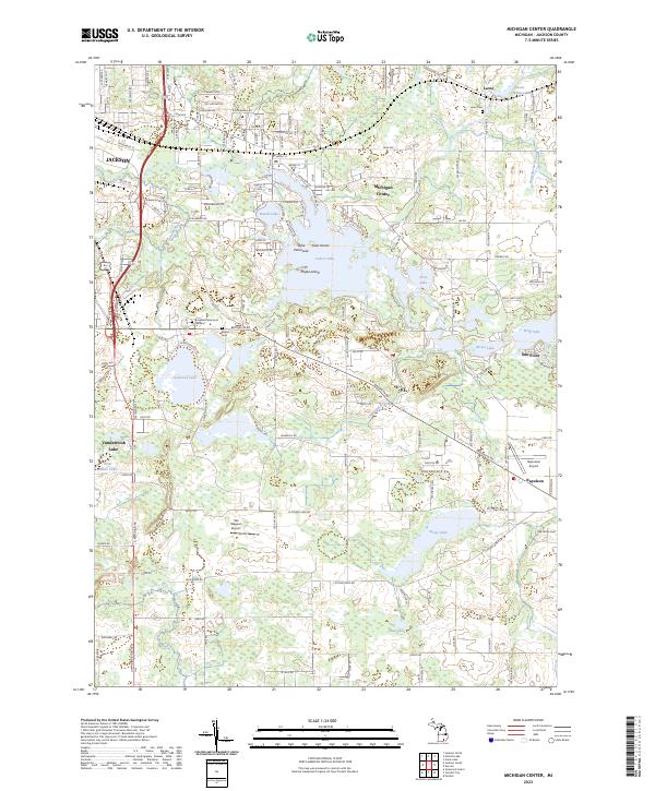
Michigan Center and the surrounding Jackson County countryside are defined by a complex network of glacial lakes and managed waterways. In the north, Leoni Millpond and Huttenlocher Drain illustrate the historical management of water levels near Leoni, while the central portion of the map is dominated by the sprawling waters of Center Lake, featuring distinctive landforms like Goat Island and the Dyke Peninsula. The terrain transitions into the elevated Blue Ridge to the southwest, contrasted by the low-lying basins of Ackerson Lake and Stony Lake. This modern survey documents the suburban expansion of Jackson and Vandercook Lake alongside established rural landmarks. Genealogists and local historians can locate several burial grounds, including Leoni Cem, Eldred Cem, and the expansive Roseland Memorial Gardens, which serve as permanent records of the area's long-standing communities. Small aviation hubs like Napoleon Airport and Van Wagner Airport further characterize the contemporary landscape of southern Michigan.
Find a feature on this map
40 named features on this map. Tap any name to fly to it.
Don’t see what you’re looking for? This feature index may not catch every label — zoom into the map to look around manually.
Map Details
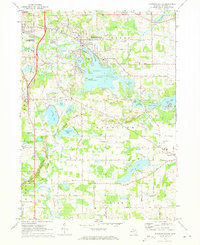
Editions of this 2023 Michigan Center Map
This is the sole edition of this map. No revisions or reprints were ever made.
Historical Maps of Jackson Through Time
Featured Locations
- Blackman Charter Township, MI
- Jackson, MI
- Napoleon Township, MI
- Summit Township, MI
- Leoni, Leoni Township