Loading...
Loading map...2022 Map of Michigantown
USGS Topo · Published 2022About this map
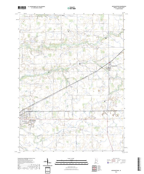
Michigantown and its rural Clinton County surroundings are defined by a meticulous grid of agricultural roads and a network of engineered drainage ditches. The landscape is drained by natural watercourses like Kilmore Creek and the S Fork Wildcat Cr, supplemented by man-made channels such as Walker Ditch, Brant Ditch, and Jenkins Ditch. These waterways historically managed the high water table characteristic of this part of Indiana, allowing the township to thrive as a farming hub.
Find a feature on this map
59 named features on this map. Tap any name to fly to it.
Don’t see what you’re looking for? This feature index may not catch every label — zoom into the map to look around manually.
Map Details
Date Portrayed2022
Date Published2022
PublisherU.S. Geological Survey
Map TypeTopographic
Scale1:24000
Physical Dimensions24 x 29 inches
Editions of this 2022 Michigantown Map
This is the sole edition of this map. No revisions or reprints were ever made.
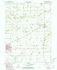
Historical Maps of Michigantown Through Time
Featured Locations
Source Details
SourceU.S. Geological Survey
CopyrightPublic Domain