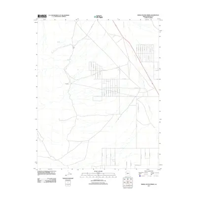
2011 Map of Middle Water Spring
USGS Topo · Published 2011About this map
Middle Water Spring and its surrounding desert basins characterize this Mohave County landscape in the early 21st century. The map reveals a transition from traditional ranching and camping sites, such as Kemple Camp and Cow Camp, to an expanding grid of residential roads and named streets concentrated in the eastern half of the quadrangle. These residential corridors, including Elizabeth Dr and Sandra Dr, are laid out in a distinctively planned suburban pattern that contrasts with the open range and natural drainages to the west. Water sources remain central to the geography of the area, with Kemple Spring feeding into the local terrain, while the broad Detrital Wash serves as the primary drainage feature cutting across the northern and eastern portions of the map. The network of thoroughfares like Mineral Rd and Cudneys Rd provides the modern framework for this evolving desert community.
Find a feature on this map
43 named features on this map. Tap any name to fly to it.
Don’t see what you’re looking for? This feature index may not catch every label — zoom into the map to look around manually.
Map Details
Editions of this 2011 Middle Water Spring Map
This is the sole edition of this map. No revisions or reprints were ever made.
Other maps of this area

1886 · Camp Mohave
USGS Topo · 1:250,000

1892 · Camp Mohave
USGS Topo · 1:250,000

1926 · Nelson
USGS Topo · 1:96,000

1926 · Mohave City
USGS Topo · 1:96,000

1942 · Camp Mohave
USGS Topo · 1:250,000

1947 · Kingman
USGS Topo · 1:250,000

1948 · Kingman
USGS Topo · 1:250,000

1954 · Kingman
USGS Topo · 1:250,000

1955 · Kingman
USGS Topo · 1:250,000

1958 · Kingman
USGS Topo · 1:250,000