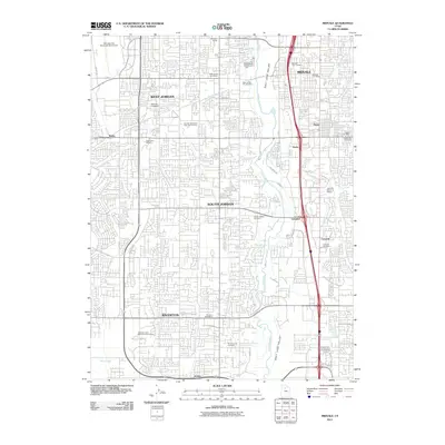
2011 Map of Midvale
USGS Topo · Published 2011About this map
West Jordan, Midvale, and South Jordan define this segment of the Salt Lake Valley, showcasing the intensive suburban expansion south of Salt Lake City in the early 21st century. The Jordan River bisects the quadrangle, flanked by numerous residential developments that have filled the spaces between the historic cores of Riverton and Crescent. This era is marked by a high density of civic and commemorative spaces, including the Midvale City Cemetery, West Jordan City Cemetery, and Wasatch Lawn Memorial Park South.
Find a feature on this map
47 named features on this map. Tap any name to fly to it.
Don’t see what you’re looking for? This feature index may not catch every label — zoom into the map to look around manually.
Map Details
Editions of this 2011 Midvale Map
This is the sole edition of this map. No revisions or reprints were ever made.
Other maps of this area

1885 · Salt Lake
USGS Topo · 1:250,000

1885 · Tooele Valley
USGS Topo · 1:250,000

1915 · Fairfield
USGS Topo · 1:62,500

1917 · Fairfield
USGS Topo · 1:62,500

1925 · Ft. Douglas
USGS Topo · 1:125,000

1928 · Ft. Douglas
USGS Topo · 1:125,000

1951 · Jordan Narrows
USGS Topo · 1:24,000

1951 · Lehi
USGS Topo · 1:24,000

1951 · Salt Lake City South
USGS Topo · 1:24,000

1951 · Midvale
USGS Topo · 1:24,000