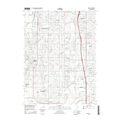
2014 Map of Midvale
USGS Topo · Published 2014About this map
The Jordan River corridor serves as the central artery for this densely developed portion of the Salt Lake Valley, where the communities of Midvale, West Jordan, and South Jordan converge. The landscape is defined by an extensive grid of suburban expansion, including the planned neighborhoods around Gardner Mountain View Golf Course and numerous educational landmarks like Neumont Univ and The Art Institute of Salt Lake City. Genealogists will find a concentration of significant burial sites, from the Midvale City Cem to the smaller Wights Ft Cem. In the western reaches, the South Valley Regional Airport provides a major infrastructure hub, while the southern terrain transitions into Riverton and Bluffdale, where Midas Cr and Rose Cr channel water toward the main river valley.
Find a feature on this map
90 named features on this map. Tap any name to fly to it.
Don’t see what you’re looking for? This feature index may not catch every label — zoom into the map to look around manually.
Map Details
Editions of this 2014 Midvale Map
This is the sole edition of this map. No revisions or reprints were ever made.
Other maps of this area

1885 · Salt Lake
USGS Topo · 1:250,000

1885 · Tooele Valley
USGS Topo · 1:250,000

1915 · Fairfield
USGS Topo · 1:62,500

1917 · Fairfield
USGS Topo · 1:62,500

1925 · Ft. Douglas
USGS Topo · 1:125,000

1928 · Ft. Douglas
USGS Topo · 1:125,000

1951 · Jordan Narrows
USGS Topo · 1:24,000

1951 · Lehi
USGS Topo · 1:24,000

1951 · Salt Lake City South
USGS Topo · 1:24,000

1951 · Midvale
USGS Topo · 1:24,000