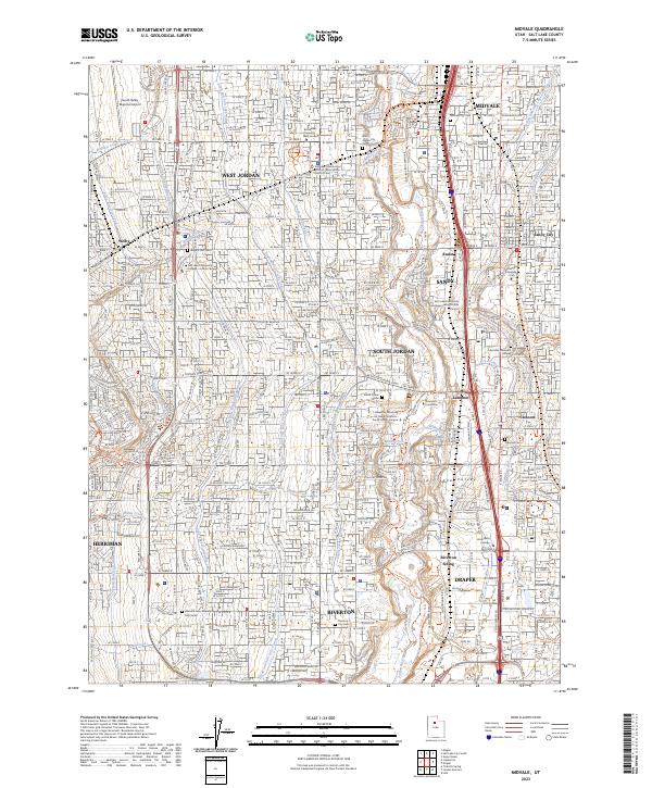
2023 Map of Midvale
USGS Topo · Published 2023About this map
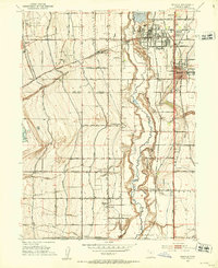
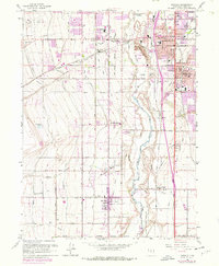
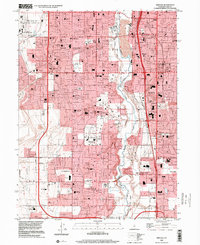
Midvale and the surrounding Salt Lake Valley appear here as a dense corridor of suburban growth and historical transit routes. The landscape is defined by an intricate network of irrigation and water management, including the Utah and Salt Lake Canal, Welby-Jacob Canal, and Provo Reservoir Canal, which once served the agricultural needs of the valley. These waterways run parallel to modern developments and established settlements like West Jordan, South Jordan, and Riverton. The infrastructure of the area is further evidenced by the Bingham Junction RR and the South Valley Regional Airport in the northwest.
Find a feature on this map
63 named features on this map. Tap any name to fly to it.
Don’t see what you’re looking for? This feature index may not catch every label — zoom into the map to look around manually.
Map Details
Editions of this 2023 Midvale Map
This is the sole edition of this map. No revisions or reprints were ever made.
Historical Maps of Mountain View Subdivision Number 13 Through Time
4 maps found