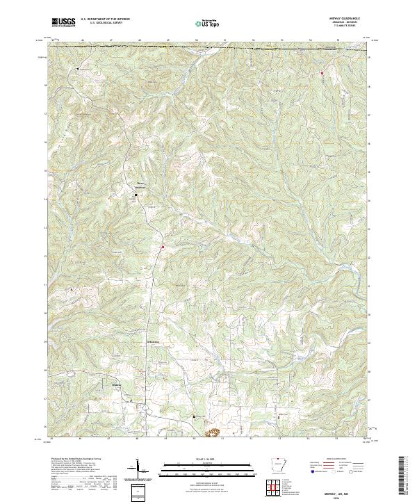
2024 Map of Midway
USGS Topo · Published 2024About this map
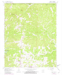
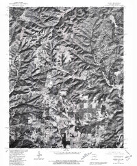
Midway serves as a central hub in this Ozark Plateau landscape, situated north of the expansive Bull Shoals Lake. The terrain is defined by prominent elevations such as Promise Land Ridge and unique landmarks like Bald Dave and Negro Knob, which rise above the intricate drainage network of Hutch Creek and Pigeon Creek. This area of Baxter County shows a dispersed settlement pattern typical of the region's uplands, with small communities like Three Brothers and Arkawana established along the winding ridge roads.
Find a feature on this map
108 named features on this map. Tap any name to fly to it.
Don’t see what you’re looking for? This feature index may not catch every label — zoom into the map to look around manually.
Map Details
Editions of this 2024 Midway Map
This is the sole edition of this map. No revisions or reprints were ever made.