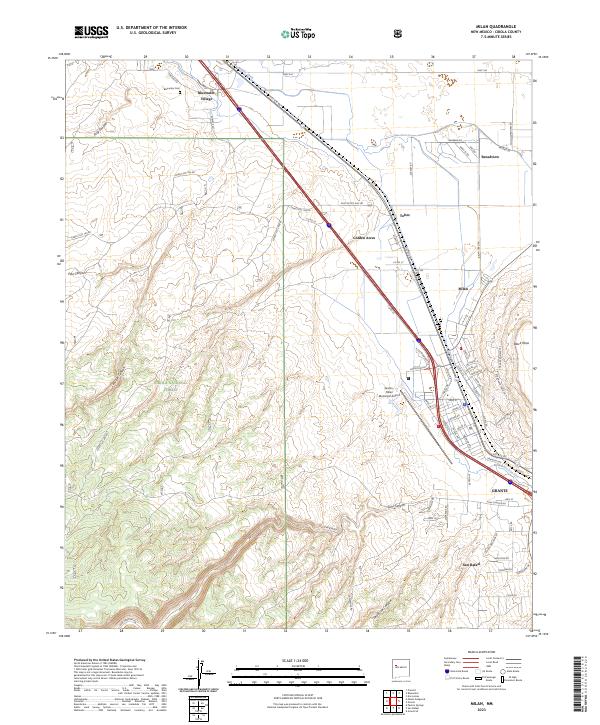
2023 Map of Milan
USGS Topo · Published 2023About this map
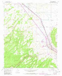
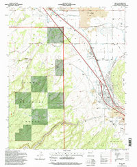
Grants and Milan serve as the focal points of this 2023 survey, revealing the modern alignment of infrastructure alongside the legendary path of Hst Rte 66. The landscape is defined by the transition from the high desert floor to the heights of Black Mesa and Enchanted Mesa, with the Rio San Jose cutting through the valley. Local history is anchored by Bluewater Village and the nearby Bluewater Cem, while the sprawling Cibola National Forest occupies the southwestern quadrant. This map captures the region's transport-oriented layout, from the Grants-Milan Municipal Airport to the industrial and residential pockets of Golden Acres, Toltec, and Broadview. For researchers, the map details many local roads like Post Office Flat Rd and Malpais Rd, which hint at the region's volcanic geography and rural development.
Find a feature on this map
78 named features on this map. Tap any name to fly to it.
Don’t see what you’re looking for? This feature index may not catch every label — zoom into the map to look around manually.
Map Details
Editions of this 2023 Milan Map
This is the sole edition of this map. No revisions or reprints were ever made.