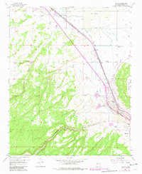
1957 Map of Milan
USGS Topo · Published 1981About this map
The Malpais Lava dominates the northeastern terrain of this Cibola County landscape, contrasting sharply with the deep-cut drainages of Zuni Canyon and Limekiln Canyon within the Cibola National Forest. The settlement of Milan and the rail stop at Toltec serve as the primary hubs of activity along the Atchison Topeka and Santa Fe line.
Find a feature on this map
32 named features on this map. Tap any name to fly to it.
Don’t see what you’re looking for? This feature index may not catch every label — zoom into the map to look around manually.
Map Details
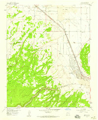
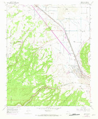
Editions of this 1957 Milan Map
3 editions found
Other maps of this area

1883 · Mt. Taylor
USGS Topo · 1:250,000

1886 · Wingate
USGS Topo · 1:250,000

1886 · Mt. Taylor
USGS Topo · 1:250,000

1892 · Wingate
USGS Topo · 1:250,000

1892 · Mt. Taylor
USGS Topo · 1:250,000

1899 · Mt. Taylor
USGS Topo · 1:250,000

1951 · Mt Sedgwick
USGS Topo · 1:24,000

1952 · Paxton Springs
USGS Topo · 1:24,000

1954 · Gallup
USGS Topo · 1:250,000

1957 · San Rafael
USGS Topo · 1:24,000