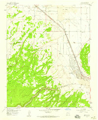
1957 Map of Milan
USGS Topo · Published 1959About this map
The Atchison Topeka and Santa Fe Railroad and U.S. Highway 66 run parallel through this high-desert corridor, anchoring the mid-century development of Milan and nearby Bluewater. This survey captures the transition from a ranching economy to a transport-focused landscape, where family operations like the Stanley and Card Ranch and Schneemann Ranch sit just beyond new municipal infrastructure. The eastern edge is defined by the unique volcanic terrain of The Malpais Lava, while the southern reaches show the intricate industrial activity of a Sawmill and an Old Railroad Grade winding through Luna Canyon. Local life is visible in the details of the Grants Municipal Airport, a Drive-in Theater, and the Bluewater Cemetery, all nestled between the sheer face of Black Mesa and the wooded heights of the Cibola National Forest.
Find a feature on this map
33 named features on this map. Tap any name to fly to it.
Don’t see what you’re looking for? This feature index may not catch every label — zoom into the map to look around manually.
Map Details
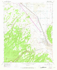
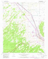
Editions of this 1957 Milan Map
3 editions found
Other maps of this area

1883 · Mt. Taylor
USGS Topo · 1:250,000

1886 · Wingate
USGS Topo · 1:250,000

1886 · Mt. Taylor
USGS Topo · 1:250,000

1892 · Wingate
USGS Topo · 1:250,000

1892 · Mt. Taylor
USGS Topo · 1:250,000

1899 · Mt. Taylor
USGS Topo · 1:250,000

1951 · Mt Sedgwick
USGS Topo · 1:24,000

1952 · Paxton Springs
USGS Topo · 1:24,000

1954 · Gallup
USGS Topo · 1:250,000

1957 · San Rafael
USGS Topo · 1:24,000