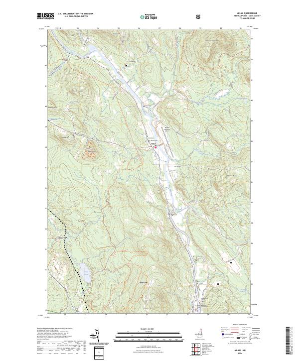
2024 Map of Milan
USGS Topo · Published 2024About this map
The Androscoggin River valley serves as the central artery for this Coos County landscape, where the settlement of Milan and the northern outskirts of Berlin are shaped by the winding water and steep terrain. This modern topographic record captures a network of small upland farms and timberlands, evidenced by the numerous family and community burial grounds such as Willis Cem, Riverview Cem, and Peabody Cem. The prominence of the Milan Hill Fire Tower overlooking the river valley highlights the region's long-standing focus on forest management and observation.
Find a feature on this map
66 named features on this map. Tap any name to fly to it.
Don’t see what you’re looking for? This feature index may not catch every label — zoom into the map to look around manually.
Map Details
Editions of this 2024 Milan Map
This is the sole edition of this map. No revisions or reprints were ever made.
Other maps of this area

1893 · Mt. Washington
USGS Topo · 1:62,500

1893 · Gorham
USGS Topo · 1:62,500

1896 · Mt. Washington
USGS Topo · 1:62,500

1896 · Gorham
USGS Topo · 1:62,500

1930 · Milan
USGS Topo · 1:62,500

1930 · Percy
USGS Topo · 1:62,500

1933 · Milan
USGS Topo · 1:62,500

1934 · Percy
USGS Topo · 1:62,500

1934 · Milan
USGS Topo · 1:62,500

1935 · Mt. Washington
USGS Topo · 1:62,500