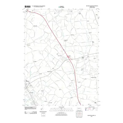
2010 Map of Milford Square
USGS Topo · Published 2010About this map
Unami Creek and Saucon Creek carve through this rural corner of southeastern Pennsylvania, defining a landscape where historic mill sites and agricultural hamlets remain visible alongside modern development. Local history and genealogy are anchored by landmarks like Stricker Cemetery, Saint Marks Cemetery, and Holy Cross Cemetery. The region’s early industrial roots are evidenced by several river-based features, including the Archey Mill Dam, Anglemans Dam, and Cummings Dam.
Find a feature on this map
137 named features on this map. Tap any name to fly to it.
Don’t see what you’re looking for? This feature index may not catch every label — zoom into the map to look around manually.
Map Details
Editions of this 2010 Milford Square Map
This is the sole edition of this map. No revisions or reprints were ever made.
Other maps of this area

1888 · Quakertown
USGS Topo · 1:62,500

1890 · Quakertown
USGS Topo · 1:62,500

1894 · Allentown
USGS Topo · 1:62,500

1894 · Quakertown
USGS Topo · 1:62,500

1902 · Boyertown
USGS Topo · 1:62,500

1902 · Slatington
USGS Topo · 1:62,500

1937 · Allentown West
USGS Topo · 1:48,000

1939 · Allentown
USGS Topo · 1:62,500

1942 · Norristown
USGS Topo · 1:125,000

1942 · Allentown West
USGS Topo · 1:62,500