2023 Map of Milford Square
USGS Topo · Published 2023About this map
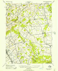
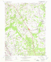
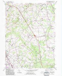
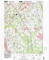
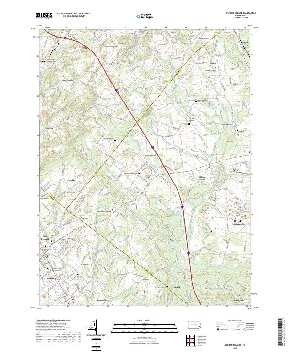
The Upper Bucks and Lehigh county lines intersect in this region of southeastern Pennsylvania, where rolling terrain is drained by Saucon Creek, Unami Creek, and Macoby Creek. The landscape is characterized by its historical religious heritage, evident in the numerous congregational sites such as the Kraussdale Meeting House and Cem and the Finland Mennonite Cem. Small crossroads communities and hamlets like Spinnerstown, Mumbauersville, and Geryville are connected by a network of rural roads that often follow the natural contours of the land, such as Limeport Pike and Kings Hwy. Aviation history is also present through both the modern Quakertown Airport and the smaller Old Plains Airport. This area reflects a long-standing settlement pattern where family-named landmarks like Stricker Cem and churches like the Trinity Great Swamp United Church of Christ remain central to the local identity.
Find a feature on this map
238 named features on this map. Tap any name to fly to it.
Don’t see what you’re looking for? This feature index may not catch every label — zoom into the map to look around manually.
Map Details
Editions of this 2023 Milford Square Map
This is the sole edition of this map. No revisions or reprints were ever made.
Historical Maps of Zionhill Through Time
5 maps found