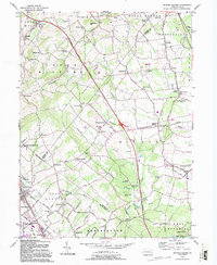
1992 Map of Milford Square
USGS Topo · Published 1995About this map
Spinnerstown and Milford Square serve as central hubs in this landscape where the Pennsylvania Turnpike Northeast Extension cuts through the rural terrain of Bucks, Lehigh, and Montgomery Counties. The map reveals a dense network of early crossroads settlements and religious centers, including the Great Swamp Ch, St Johns Ch, and the West Swamp Ch. These sites, alongside schools like the Union Sch and Tohickon Valley Sch, highlight the established community structure of the Pennsylvania Dutch countryside.
Find a feature on this map
93 named features on this map. Tap any name to fly to it.
Don’t see what you’re looking for? This feature index may not catch every label — zoom into the map to look around manually.
Map Details
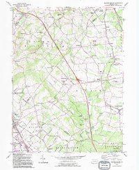
Editions of this 1992 Milford Square Map
2 editions found
Other maps of this area

1888 · Quakertown
USGS Topo · 1:62,500

1890 · Quakertown
USGS Topo · 1:62,500

1894 · Allentown
USGS Topo · 1:62,500

1894 · Quakertown
USGS Topo · 1:62,500

1902 · Boyertown
USGS Topo · 1:62,500

1902 · Slatington
USGS Topo · 1:62,500

1937 · Allentown West
USGS Topo · 1:48,000

1939 · Allentown
USGS Topo · 1:62,500

1942 · Norristown
USGS Topo · 1:125,000

1942 · Allentown West
USGS Topo · 1:62,500