2021 Map of Miller
USGS Topo · Published 2021About this map
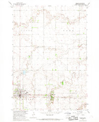
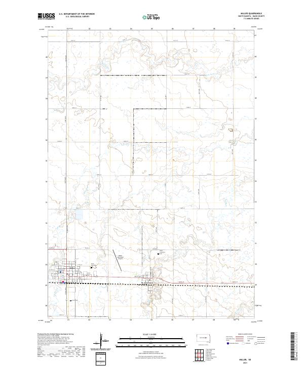
The prairie landscape of Hand County is defined by the twin settlements of Miller and St. Lawrence along the central rail and road corridor. As the county seat, Miller serves as the primary hub, anchored by the Hand County Courthouse and supported by infrastructure like the Miller Municipal Airport to the east. The surrounding township lines, including t112n r68w and t113n r67w, partition a grid of section roads that navigate the meandering courses of Ree Cr, Turtle Cr, and Little Turtle Cr. These waterways create natural variations in the otherwise orderly agricultural layout. Local genealogy is well-represented through several established burial grounds, including the GAR Cem, Saint Anns Cem, and Saint Lawrence Cem located just outside the village limits. This survey illustrates a modern rural community where long-established civic centers remain closely integrated with the hydrology and land divisions of the South Dakota plains.
Find a feature on this map
43 named features on this map. Tap any name to fly to it.
Don’t see what you’re looking for? This feature index may not catch every label — zoom into the map to look around manually.
Map Details
Editions of this 2021 Miller Map
This is the sole edition of this map. No revisions or reprints were ever made.