
1967 Map of Miller
USGS Topo · Published 1968About this map
The town of Miller serves as the focal point of this prairie landscape in Hand County, situated along the Chicago and North Western railroad line. This late-1960s survey captures the community's mid-century footprint, featuring the Miller Municipal Airport, a Drive-in Theater, and the Central Speedway on the southern edge of town. These landmarks, alongside the Country Club and City Park, reflect a period of established local commerce and recreation during the development of the Missouri River Basin project.
Find a feature on this map
25 named features on this map. Tap any name to fly to it.
Don’t see what you’re looking for? This feature index may not catch every label — zoom into the map to look around manually.
Map Details
Editions of this 1967 Miller Map
This is the sole edition of this map. No revisions or reprints were ever made.
Other maps of this area

1899 · Redfield
USGS Topo · 1:125,000

1950 · Ree Heights SE
USGS Topo · 1:24,000

1950 · Vayland
USGS Topo · 1:24,000

1950 · Vayland NW
USGS Topo · 1:24,000

1951 · Ree Heights NE
USGS Topo · 1:24,000

1953 · Huron
USGS Topo · 1:250,000

1954 · Huron
USGS Topo · 1:250,000

1966 · Burdette
USGS Topo · 1:24,000
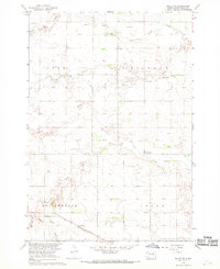
1967 · Miller SE
USGS Topo · 1:24,000
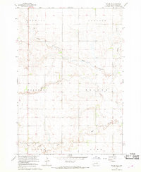
1967 · Miller NW
USGS Topo · 1:24,000