
Loading...
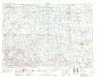
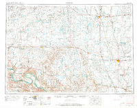
Loading map...1953 Map of Huron
USGS Topo · Published 1959About this map
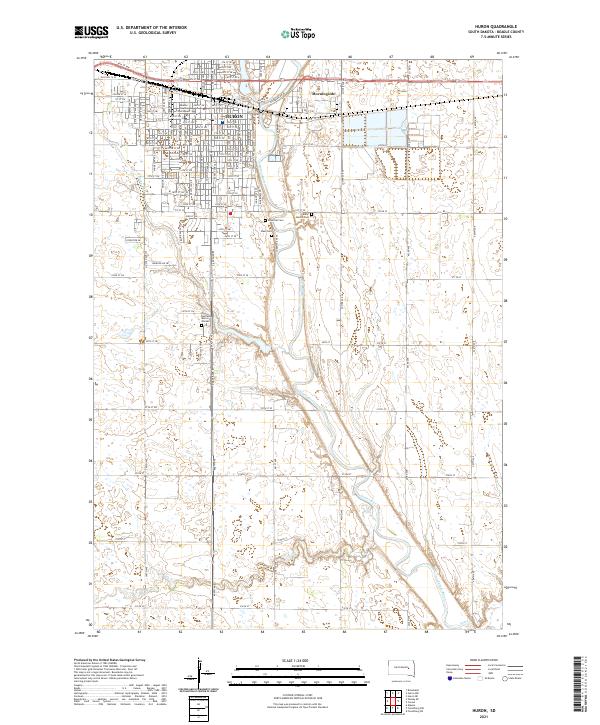
The Missouri River carves the southwestern corner of this mid-century landscape, framing the Crow Creek Indian Reservation and Lower Brule Indian Reservation. The map reveals a highly structured agricultural and transit network dominated by the Chicago and North Western and the Chicago Milwaukee St Paul and Pacific railroads. These lines serve as the spine for numerous prairie towns, from Huron and Redfield to smaller hubs like Highmore and Woonsocket.
Find a feature on this map
95 named features on this map. Tap any name to fly to it.
Don’t see what you’re looking for? This feature index may not catch every label — zoom into the map to look around manually.
Map Details
Date Portrayed1953
Date Published1959
PublisherU.S. Geological Survey
Map TypeTopographic
Scale1:250,000
Physical Dimensions27.7 x 22 inches
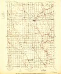
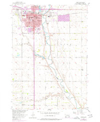
Editions of this 1953 Huron Map
3 editions found
Historical Maps of Huron Through Time
9 maps found


Featured Locations
Source Details
SourceU.S. Geological Survey
CopyrightPublic Domain