
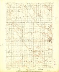
1899 Map of Mitchell
USGS Topo · Published 1899About this map
Mitchell serves as the primary hub in this late nineteenth-century portrait of southeastern South Dakota, where the James River meanders through the eastern townships. The landscape is defined by the expansion of the Chicago Milwaukee and St. Paul R. R., with the Iowa and Dakota Division striking a horizontal line across the prairie. This rail corridor fostered the growth of settlements like Mt. Vernon and Plankinton, providing a vital link for agricultural transport.
Find a feature on this map
50 named features on this map. Tap any name to fly to it.
Don’t see what you’re looking for? This feature index may not catch every label — zoom into the map to look around manually.
Map Details
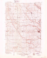
Editions of this 1899 Mitchell Map
3 editions found
Other maps of this area

1898 · Olivet
USGS Topo · 1:125,000

1898 · Huron
USGS Topo · 1:125,000

1899 · Alexandria
USGS Topo · 1:125,000

1899 · De Smet
USGS Topo · 1:125,000

1942 · Crow Lake
USGS Topo · 1:62,500

1953 · Huron
USGS Topo · 1:250,000

1953 · Watertown
USGS Topo · 1:250,000

1954 · Huron
USGS Topo · 1:250,000

1955 · Sioux Falls
USGS Topo · 1:250,000

1955 · Mitchell
USGS Topo · 1:250,000