
Loading...
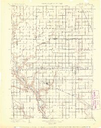
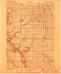
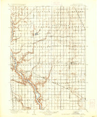
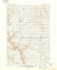
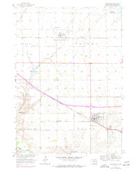
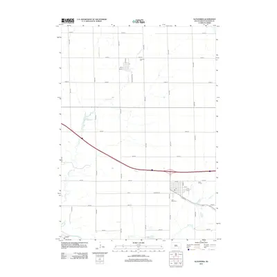
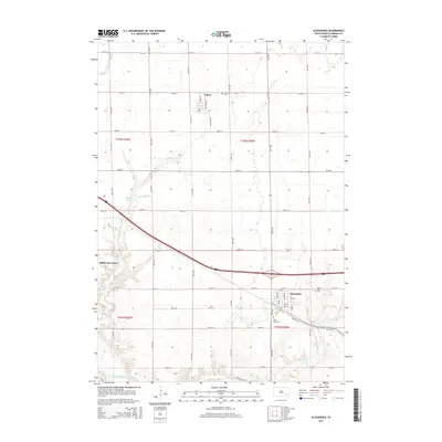
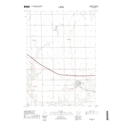
Loading map...1899 Map of Alexandria
USGS Topo · Published 1899About this map
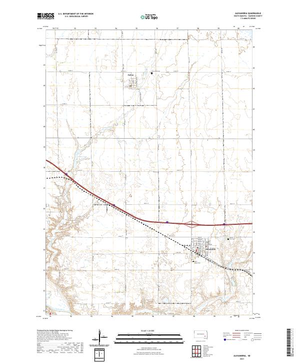
The James River meanders through the western reaches of this South Dakota landscape, a defining corridor for early settlement and transport before the turn of the century. Hand-drawn during surveys in the mid-1890s, this document captures the established township grids of Hanson and surrounding counties. The town of Alexandria serves as a central hub, positioned at the intersection of the prairie landscape and the Chicago Milwaukee and St. Paul R.R..
Find a feature on this map
61 named features on this map. Tap any name to fly to it.
Don’t see what you’re looking for? This feature index may not catch every label — zoom into the map to look around manually.
Map Details
Date Portrayed1899
Date Published1899
PublisherU.S. Geological Survey
Map TypeTopographic
Scale1:125,000
Physical Dimensions16.4 x 19.7 inches
Editions of this 1899 Alexandria Map
5 editions found
Historical Maps of Mitchell Through Time
6 maps found
Featured Locations
- Mitchell, SD
- Ethan, Rome Township
- Alexandria, Wayne Township
- Bridgewater, Bridgewater Township
- Emery, Pleasant Township
Source Details
SourceU.S. Geological Survey
CopyrightPublic Domain