Loading...
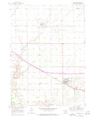
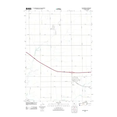
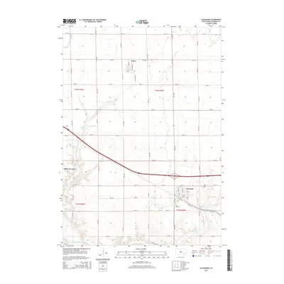
Loading map...1899 Map of Alexandria
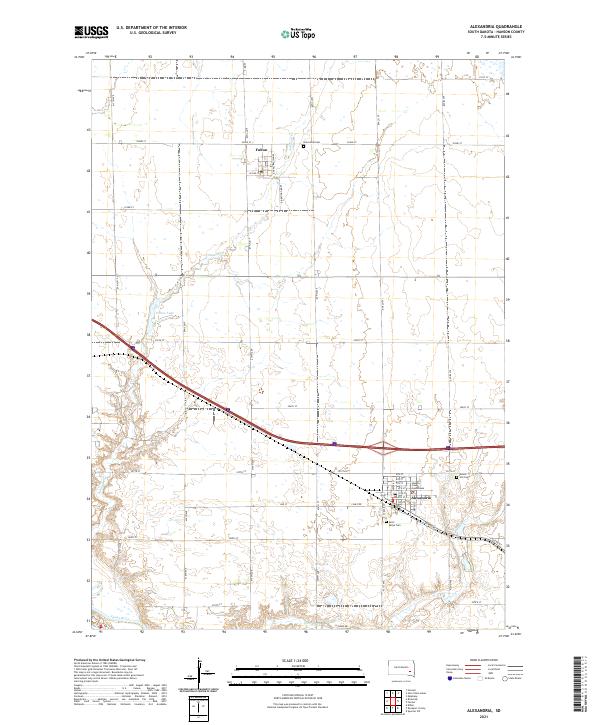
USGS Topo · Published 1949About this map
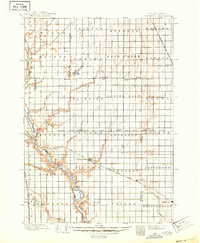
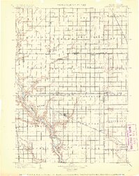
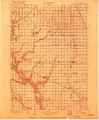
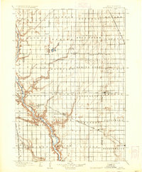
The James River meanders through the western reaches of this late 19th-century landscape, carving a distinct valley through the agricultural townships of Hanson and Mc Cook counties. Surveyed in the mid-1890s, the map reveals a region defined by its emerging rail network, where three major lines intersect to support the growing prairie settlements. The Chicago Milwaukee and St. Paul R. R. serves the central hub of Alexandria, while the Chicago St. Paul Minneapolis and Omaha R. R. connects towns like Fulton and Farmer (Doon).
Find a feature on this map
64 named features on this map. Tap any name to fly to it.
Don’t see what you’re looking for? This feature index may not catch every label — zoom into the map to look around manually.
Map Details
Date Portrayed1899
Date Published1949
PublisherU.S. Geological Survey
Map TypeTopographic
Scale1:125,000
Physical Dimensions17.1 x 20.8 inches
Editions of this 1899 Alexandria Map
5 editions found

Historical Maps of Mitchell Through Time
6 maps found
Featured Locations
- Mitchell, SD
- Ethan, Rome Township
- Alexandria, Wayne Township
- Bridgewater, Bridgewater Township
- Emery, Pleasant Township
Source Details
SourceU.S. Geological Survey
CopyrightPublic Domain