Old Maps of Huron, South Dakota
Explore 24 old maps of Huron, spanning from 1898 to today. These high-resolution historic maps reveal how streets, neighborhoods, landmarks, and natural features evolved over time — perfect for genealogy, metal detecting, research, and local history exploration.
What you can do with these maps:
- See how Huron changed over time: Compare historical maps to modern-day views to trace roads, homesites, rail lines & more.
- View detailed metadata: Each map includes creators, publishers, year, scale, and archive source.
- Overlay maps with satellite & LiDAR: Visualize the past alongside modern tools to explore terrain & human change.
- Trusted historical sources: Maps sourced from the USGS, Library of Congress, and other archives.
- Access maps your way: View online, download high-res files, or order prints for personal or research use.
Start exploring old maps of Huron to uncover forgotten places, hidden landmarks, and the deep history beneath your feet.
Huron, SD maps
(24)- 1898 Map of Huron
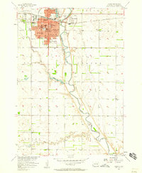
 1898 Huron1898 Print · USGSCentral South Dakota thrived as a rail and river hub in the 1890s. Genealogists and historians can trace early townships and rail junctions like Huron, Woonsocket, and the crossings of the James River.2 unique versions available
 - 1953 Map of Huron, 1959 Print
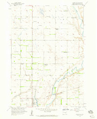
 1953 Huron1959 Print · USGSCentral South Dakota comes alive in the mid-1950s as a thriving rail and agricultural corridor between the Missouri and James Rivers. Trace the legacy of family farms and prairie towns like Huron, Faulkton, and Wessington Springs along the historic Chicago and North Western rail lines.3 unique versions available
 - 1954 Map of Huron, 1977 Print
 1954 Huron1977 Print · USGSCentral South Dakota was a landscape of grain elevators and river bends during the mid-fifties. Genealogists and historians can trace the development of the James River valley through railroad towns like Redfield and the sprawling Crow Creek Indian Reservation.
 - 1957 Map of Huron, 1958 Print
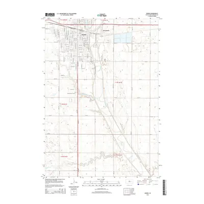
 1957 Huron1958 Print · USGSHuron and the James River valley are captured in the late fifties as the city expanded around its rail and river roots. Genealogists and historians can trace neighborhood developments like Morningside or locate landmarks such as Huron College and Riverside Cemetery.2 unique versions available
 - 1958 Map of Huron NW, 1959 Print
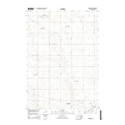
 1958 Huron NW1959 Print · USGSBeadle County rural life in the late fifties is defined by the winding James River and a scattering of Hutterite and pioneer-era legacy sites. Researchers can trace the consolidation of local education through several one-room schoolhouses, including Edison Sch and Whittier Sch, alongside the communal Riverside Colony.2 unique versions available
 - 1973 Map of Broadland, 1976 Print
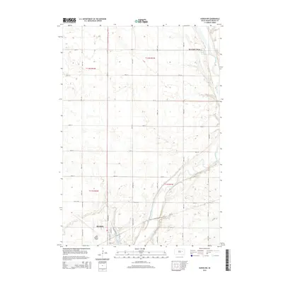
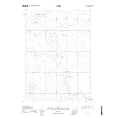
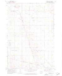 1973 Broadland1976 Print · USGSBeadle County in the early seventies is mapped here as a network of rail lines and agricultural townships. Genealogists and local historians can trace the Chicago and North Western corridor through Broadland and past the Townhall in Hartland.
 - 1973 Map of Wolsey SE, 1976 Print
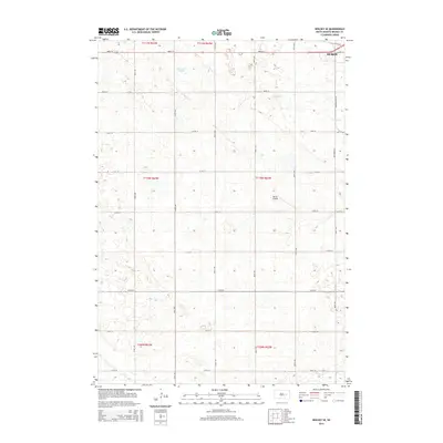
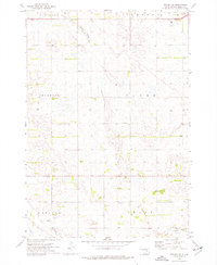 1973 Wolsey SE1976 Print · USGSBeadle County farmland at the start of the 1970s is shown here in high detail, from the small community of Carlyle to the rural Townhall. Genealogists and researchers can trace township lines and water features like Schwartz Slough or Cain Creek.
 - 1985 Map of Huron, 1986 Print
 1985 Huron1986 Print · USGSThe James River valley and the city of Huron come into focus during the mid-eighties as centers of rail and prairie commerce. Genealogists and historians can trace communal sites like Riverside Colony and established rail towns from Wolsey to Woonsocket.2 unique versions available
 - 2012 Map of Huron, 2012 Print
 2012 Huron2012 Print · USGSCovers Huron, including Morningside, Beadle County, and other nearby areas
 - 2012 Map of Huron NW, 2012 Print
 2012 Huron NW2012 Print · USGSCovers Huron, including Riverside Hutterite Colony, Beadle County, and other nearby areas
 - 2012 Map of Broadland, 2012 Print
 2012 Broadland2012 Print · USGSCovers Huron, including Broadland, James Valley Junction, and other nearby areas
 - 2012 Map of Wolsey SE, 2012 Print
 2012 Wolsey SE2012 Print · USGSCovers Huron, including Prairie Villa Mobile Court, Beadle County, and other nearby areas
 - 2015 Map of Huron NW, 2015 Print
 2015 Huron NW2015 Print · USGSCovers Huron, including Riverside Hutterite Colony, Beadle County, and other nearby areas
 - 2015 Map of Wolsey SE, 2015 Print
 2015 Wolsey SE2015 Print · USGSCovers Huron, including Prairie Villa Mobile Court, Beadle County, and other nearby areas
 - 2015 Map of Broadland, 2015 Print
 2015 Broadland2015 Print · USGSCovers Huron, including Broadland, James Valley Junction, and other nearby areas
 - 2015 Map of Huron, 2015 Print
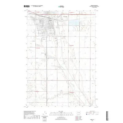
 2015 Huron2015 Print · USGSCovers Huron, including Morningside, Beadle County, and other nearby areas
 - 2017 Map of Huron, 2017 Print
 2017 Huron2017 Print · USGSCovers Huron, including Morningside, Beadle County, and other nearby areas
 - 2017 Map of Broadland, 2017 Print
 2017 Broadland2017 Print · USGSCovers Huron, including Broadland, James Valley Junction, and other nearby areas
 - 2017 Map of Huron NW, 2017 Print
 2017 Huron NW2017 Print · USGSCovers Huron, including Riverside Hutterite Colony, Beadle County, and other nearby areas
 - 2017 Map of Wolsey SE, 2017 Print
 2017 Wolsey SE2017 Print · USGSCovers Huron, including Prairie Villa Mobile Court, Beadle County, and other nearby areas
 - 2021 Map of Huron, 2021 Print
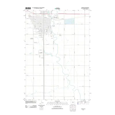
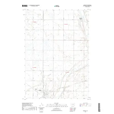
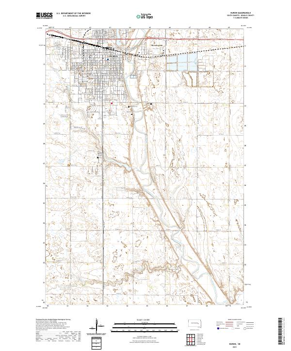 2021 Huron2021 Print · USGSHuron and the winding James River valley are captured in this recent survey of Beadle County. Genealogists and local historians can map out the city's growth from the Beadle County Courthouse to outlying sites like Riverside Cem and Morningside.
 - 2021 Map of Huron NW, 2021 Print
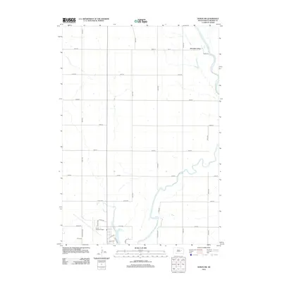
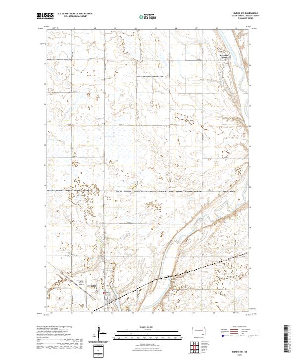 2021 Huron NW2021 Print · USGSThe outskirts of Huron and the communal settlement of Riverside Colony are captured here in the early 2020s. Researchers can trace the path of the James River or locate property boundaries near Huron Regional Airport and Dakota Ave N.
 - 2021 Map of Broadland, 2021 Print
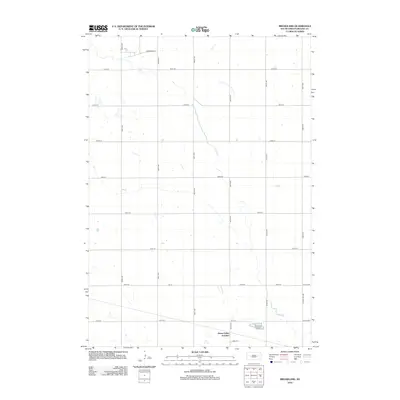
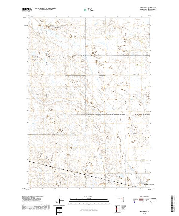 2021 Broadland2021 Print · USGSThe prairie settlement of Broadland and the surrounding Beadle County farmsteads are shown during the early 2020s. Genealogists can trace family lands across the grid of Co Rd 15, 395th Ave, and newer subdivisions like Appaloosa Trl.
 - 2021 Map of Wolsey SE, 2021 Print
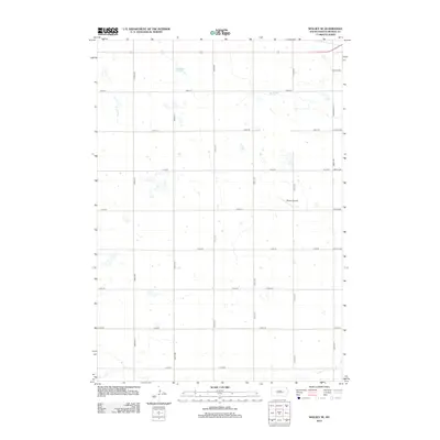
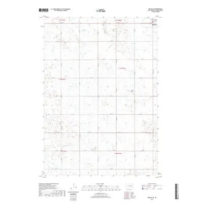
 2021 Wolsey SE2021 Print · USGSBeadle County’s rural expanse west of Huron is captured here in the early twenty-first century, showing the intersection of agriculture and aviation. Local researchers can trace the course of Cain Cr and locate Winter Airfield among the prairie sloughs.
End of results
Showing maps 1-24 of 24
Top cities near Huron
- Alpena historical maps
- Cavour historical maps
- Yale historical maps
- Broadland historical maps
- Virgil historical maps
Frequently asked questions
- What are the different types of historical maps available for Huron?
- What is the oldest map of Huron?
- Where can I purchase historical maps of Huron for my home or office?
- Where can I download high-res historical maps of Huron?
- Are there historical topographic maps available for Huron?
- Is there historical aerial imagery available for Huron?
- Where are historical maps of Huron sourced from?