Old Maps of Cavour, South Dakota
Explore 14 old maps of Cavour, spanning from 1898 to today. These high-resolution historic maps reveal how streets, neighborhoods, landmarks, and natural features evolved over time — perfect for genealogy, metal detecting, research, and local history exploration.
What you can do with these maps:
- See how Cavour changed over time: Compare historical maps to modern-day views to trace roads, homesites, rail lines & more.
- View detailed metadata: Each map includes creators, publishers, year, scale, and archive source.
- Overlay maps with satellite & LiDAR: Visualize the past alongside modern tools to explore terrain & human change.
- Trusted historical sources: Maps sourced from the USGS, Library of Congress, and other archives.
- Access maps your way: View online, download high-res files, or order prints for personal or research use.
Start exploring old maps of Cavour to uncover forgotten places, hidden landmarks, and the deep history beneath your feet.
Cavour, SD maps
(14)- 1898 Map of Huron
 1898 Huron1898 Print · USGSCentral South Dakota thrived as a rail and river hub in the 1890s. Genealogists and historians can trace early townships and rail junctions like Huron, Woonsocket, and the crossings of the James River.2 unique versions available
 - 1953 Map of Huron, 1959 Print
 1953 Huron1959 Print · USGSCentral South Dakota comes alive in the mid-1950s as a thriving rail and agricultural corridor between the Missouri and James Rivers. Trace the legacy of family farms and prairie towns like Huron, Faulkton, and Wessington Springs along the historic Chicago and North Western rail lines.3 unique versions available
 - 1954 Map of Huron, 1977 Print
 1954 Huron1977 Print · USGSCentral South Dakota was a landscape of grain elevators and river bends during the mid-fifties. Genealogists and historians can trace the development of the James River valley through railroad towns like Redfield and the sprawling Crow Creek Indian Reservation.
 - 1957 Map of Cavour, 1958 Print
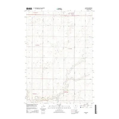
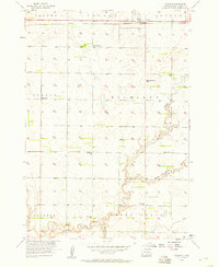 1957 Cavour1958 Print · USGSBeadle County was a landscape of small prairie schoolhouses and steady rail traffic during the late fifties. Genealogists can locate family landmarks such as Richland Center Sch, Bloodgood Sch, and the depot at Cavour along the Chicago and North Western line.2 unique versions available
 - 1958 Map of Huron NE, 1959 Print
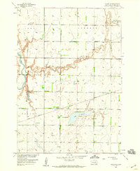 1958 Huron NE1959 Print · USGSBeadle County was a landscape of prairie townships and rail-side settlements in the late fifties. Researchers can trace the Great Northern rail line through Sheffield and Cavour, or locate family sites near Ackerman Sch and St Patrick Cem.
 - 1985 Map of Huron, 1986 Print
 1985 Huron1986 Print · USGSThe James River valley and the city of Huron come into focus during the mid-eighties as centers of rail and prairie commerce. Genealogists and historians can trace communal sites like Riverside Colony and established rail towns from Wolsey to Woonsocket.2 unique versions available
 - 2012 Map of Huron NE, 2012 Print
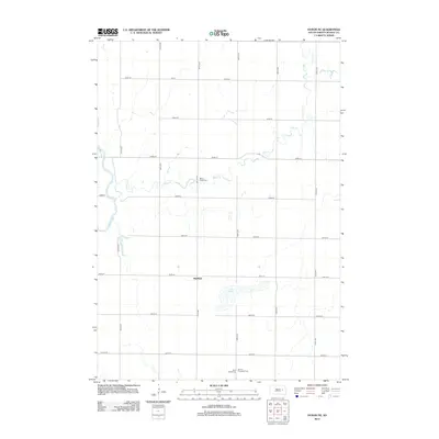 2012 Huron NE2012 Print · USGSCovers Cavour, including Sheffield, Beadle County, and other nearby areas
 - 2012 Map of Cavour, 2012 Print
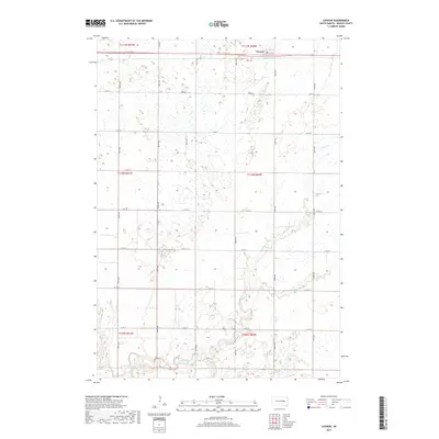
 2012 Cavour2012 Print · USGSCovers Cavour, including Beadle County, United States, and other nearby areas
 - 2015 Map of Huron NE, 2015 Print
 2015 Huron NE2015 Print · USGSCovers Cavour, including Sheffield, Beadle County, and other nearby areas
 - 2015 Map of Cavour, 2015 Print
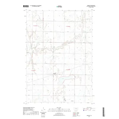
 2015 Cavour2015 Print · USGSCovers Cavour, including Beadle County, United States, and other nearby areas
 - 2017 Map of Cavour, 2017 Print
 2017 Cavour2017 Print · USGSCovers Cavour, including Beadle County, United States, and other nearby areas
 - 2017 Map of Huron NE, 2017 Print
 2017 Huron NE2017 Print · USGSCovers Cavour, including Sheffield, Beadle County, and other nearby areas
 - 2021 Map of Huron NE, 2021 Print
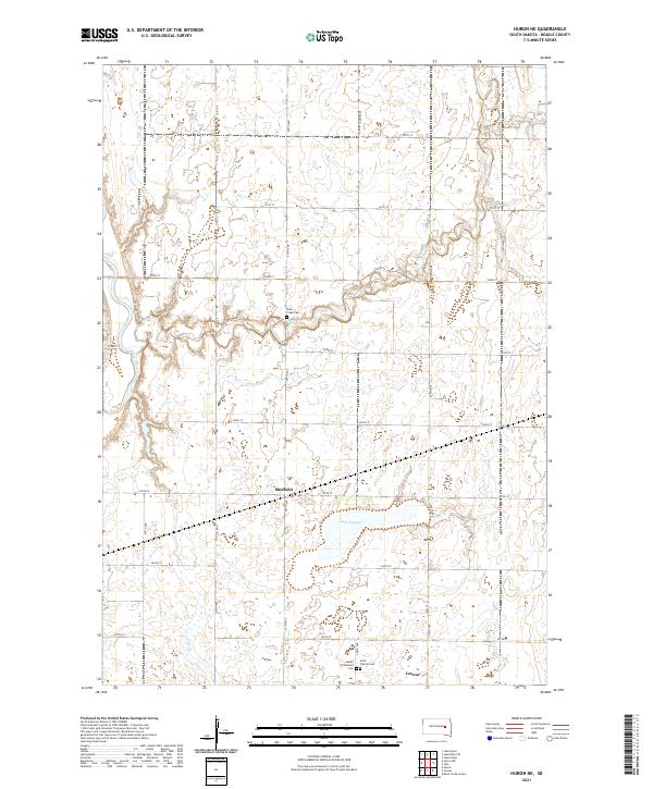 2021 Huron NE2021 Print · USGSBeadle County settlements and prairie waterways are meticulously detailed in this recent look at central South Dakota. Family historians can trace local roots through landmarks like Saint Patrick Cem, Shue Creek Cem, and the small community of Sheffield.
 - 2021 Map of Cavour, 2021 Print
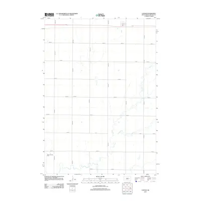
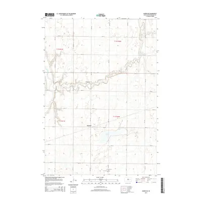
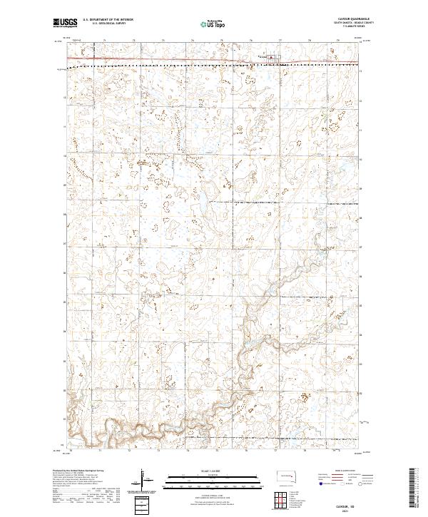 2021 Cavour2021 Print · USGSIn the open prairies of Beadle County, this recent survey captures the quiet agricultural heart of South Dakota. Genealogists and local historians can trace the rural road grid around Cavour and follow the natural meanders of Pearl Cr and Middle Pearl Cr.
End of results
Showing maps 1-14 of 14
Top cities near Cavour
Frequently asked questions
- What are the different types of historical maps available for Cavour?
- What is the oldest map of Cavour?
- Where can I purchase historical maps of Cavour for my home or office?
- Where can I download high-res historical maps of Cavour?
- Are there historical topographic maps available for Cavour?
- Is there historical aerial imagery available for Cavour?
- Where are historical maps of Cavour sourced from?