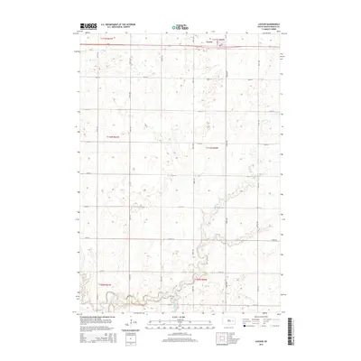
2015 Map of Cavour
USGS Topo · Published 2015About this map
Cavour sits at the northern edge of this Beadle County landscape, serving as a primary point of settlement along the established section lines of the South Dakota prairie. The terrain is defined by the winding course of Pearl Cr, which meanders from the northeast toward the south, cutting through the grid of townships including t110n r60w and t111n r60w. This 2015 survey illustrates a rural landscape where modern roads strictly follow the Public Land Survey System, creating a repetitive pattern of square sections. The hydrography of Pearl Cr provides a natural contrast to this geometric order, marking the low-lying drainages that have influenced local land use for generations.
Find a feature on this map
8 named features on this map. Tap any name to fly to it.
Don’t see what you’re looking for? This feature index may not catch every label — zoom into the map to look around manually.
Map Details
Editions of this 2015 Cavour Map
This is the sole edition of this map. No revisions or reprints were ever made.
Other maps of this area

1898 · Huron
USGS Topo · 1:125,000

1899 · De Smet
USGS Topo · 1:125,000

1953 · Huron
USGS Topo · 1:250,000

1953 · Watertown
USGS Topo · 1:250,000

1954 · Huron
USGS Topo · 1:250,000

1957 · Forestburg NE
USGS Topo · 1:24,000

1957 · Cavour
USGS Topo · 1:24,000

1957 · Huron
USGS Topo · 1:24,000

1958 · Watertown
USGS Topo · 1:250,000

1958 · Forestburg NW
USGS Topo · 1:24,000