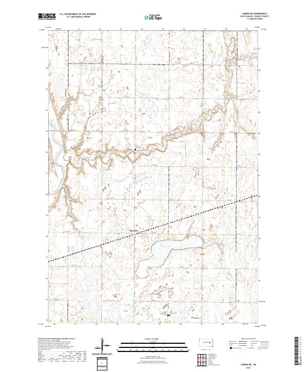
2021 Map of Huron NE
USGS Topo · Published 2021About this map
Cavour and Sheffield anchor this prairie landscape in Beadle County, where the agricultural grid is defined by a dense network of numbered avenues and streets. The terrain is characterized by the meandering path of the James River in the west and the winding course of Shue Cr to the east. The area surrounding Lake Cavour serves as a primary drainage point for the local wetlands and depressions. Genealogists and local historians will find significant value in the distribution of regional burial sites, including the Saint Patrick Cem and the Cavour Protestant Cem located south of the main township, as well as the more isolated Shue Creek Cem near the creek's bend. This recent survey shows the enduring nature of these rural South Dakota settlements and the persistent water systems that have shaped farming in the region for generations.
Find a feature on this map
28 named features on this map. Tap any name to fly to it.
Don’t see what you’re looking for? This feature index may not catch every label — zoom into the map to look around manually.
Map Details
Editions of this 2021 Huron NE Map
This is the sole edition of this map. No revisions or reprints were ever made.
Other maps of this area

1895 · Byron
USGS Topo · 1:125,000

1898 · Huron
USGS Topo · 1:125,000

1899 · De Smet
USGS Topo · 1:125,000

1953 · Huron
USGS Topo · 1:250,000

1953 · Watertown
USGS Topo · 1:250,000

1954 · Huron
USGS Topo · 1:250,000

1956 · Lake Byron
USGS Topo · 1:24,000

1956 · Lake Byron SE
USGS Topo · 1:24,000

1957 · Cavour
USGS Topo · 1:24,000

1957 · Huron
USGS Topo · 1:24,000