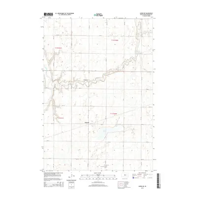
2015 Map of Huron NE
USGS Topo · Published 2015About this map
Sheffield stands as a primary point of interest in this section of Beadle County, situated within a landscape defined by the winding course of Shue Cr and the larger James River. The map reveals a rural South Dakota geography organized by a rigid grid of section lines, where landmarks like the Shue Creek Cem and Saint Patrick Cem provide valuable touchstones for genealogists and local historians. To the southeast, the basin of Lake Cavour dominates the local topography, south of the intersecting routes of CR-14 and CR-29. This survey captures the region's agricultural character and water drainage patterns, illustrating how early settlement was shaped by proximity to reliable water sources in an otherwise open prairie environment.
Find a feature on this map
28 named features on this map. Tap any name to fly to it.
Don’t see what you’re looking for? This feature index may not catch every label — zoom into the map to look around manually.
Map Details
Editions of this 2015 Huron NE Map
This is the sole edition of this map. No revisions or reprints were ever made.
Other maps of this area

1895 · Byron
USGS Topo · 1:125,000

1898 · Huron
USGS Topo · 1:125,000

1899 · De Smet
USGS Topo · 1:125,000

1953 · Huron
USGS Topo · 1:250,000

1953 · Watertown
USGS Topo · 1:250,000

1954 · Huron
USGS Topo · 1:250,000

1956 · Lake Byron
USGS Topo · 1:24,000

1956 · Lake Byron SE
USGS Topo · 1:24,000

1957 · Cavour
USGS Topo · 1:24,000

1957 · Huron
USGS Topo · 1:24,000