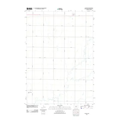
2012 Map of Cavour
USGS Topo · Published 2012About this map
Pearl Creek and its complex tributaries, including Middle Pearl Creek and S Fork Pearl Creek, define the hydrological character of this Beadle County landscape. The terrain is organized by a rigid section-line grid of rural roads, such as 405th Ave and 214th St, which facilitate agricultural movement across the plains. A specialized aviation landmark, Marone Landing Field, appears in the southwest corner, while the presence of a Po near the northern border marks a local point of community infrastructure. This survey captures the region in a period of established rural settlement, where the meandering path of the creeks provides a sharp visual contrast to the engineered precision of the surrounding township roads.
Find a feature on this map
19 named features on this map. Tap any name to fly to it.
Don’t see what you’re looking for? This feature index may not catch every label — zoom into the map to look around manually.
Map Details
Editions of this 2012 Cavour Map
This is the sole edition of this map. No revisions or reprints were ever made.
Other maps of this area

1898 · Huron
USGS Topo · 1:125,000

1899 · De Smet
USGS Topo · 1:125,000

1953 · Huron
USGS Topo · 1:250,000

1953 · Watertown
USGS Topo · 1:250,000

1954 · Huron
USGS Topo · 1:250,000

1957 · Forestburg NE
USGS Topo · 1:24,000

1957 · Cavour
USGS Topo · 1:24,000

1957 · Huron
USGS Topo · 1:24,000

1958 · Watertown
USGS Topo · 1:250,000

1958 · Forestburg NW
USGS Topo · 1:24,000