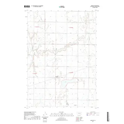
2017 Map of Huron NE
USGS Topo · Published 2017About this map
Cavour and the surrounding township lands of Beadle County are documented here during the late 2010s, showing a landscape defined by the drainage of the James River and its tributary, Shue Cr. The map preserves the locations of vital community landmarks, particularly the cluster of burial grounds near the southern border including Saint Patrick Cem and the Cavour Protestant Cem. To the north, the small settlement of Sheffield sits near the crossing of 407th Ave and 205th St.
Find a feature on this map
28 named features on this map. Tap any name to fly to it.
Don’t see what you’re looking for? This feature index may not catch every label — zoom into the map to look around manually.
Map Details
Editions of this 2017 Huron NE Map
This is the sole edition of this map. No revisions or reprints were ever made.
Other maps of this area

1895 · Byron
USGS Topo · 1:125,000

1898 · Huron
USGS Topo · 1:125,000

1899 · De Smet
USGS Topo · 1:125,000

1953 · Huron
USGS Topo · 1:250,000

1953 · Watertown
USGS Topo · 1:250,000

1954 · Huron
USGS Topo · 1:250,000

1956 · Lake Byron
USGS Topo · 1:24,000

1956 · Lake Byron SE
USGS Topo · 1:24,000

1957 · Cavour
USGS Topo · 1:24,000

1957 · Huron
USGS Topo · 1:24,000