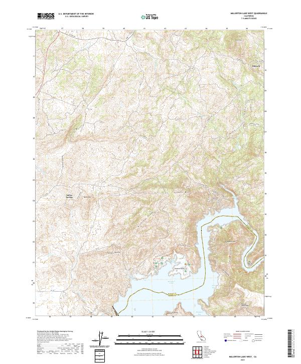
2021 Map of Millerton Lake West
USGS Topo · Published 2021About this map
Millerton Lake defines the southern portion of this landscape at the boundary of Madera and Fresno counties. The shoreline is deeply articulated with numerous coves and bays, including Finegold Bay, Winchell Bay, and the sheltered waters of Dumna Cove, which surrounds Dumna Island. The terrain rises sharply from the water's edge into a series of prominent peaks and ridges, most notably Millerton Ridge and Pincushion Mtn. To the north, the small settlements of Indian Springs and Hildreth are connected by a network of rural roads such as Hildreth Rd and N Fork Rd. This area is characterized by significant topographical landmarks like Hildreth Mtn and the uniquely named Tick-Tack-Toe Hill, while the drainage system of Cottonwood Cr and Fine Gold Cr further shapes the foothills above the reservoir.
Find a feature on this map
54 named features on this map. Tap any name to fly to it.
Don’t see what you’re looking for? This feature index may not catch every label — zoom into the map to look around manually.
Map Details
Editions of this 2021 Millerton Lake West Map
This is the sole edition of this map. No revisions or reprints were ever made.
Other maps of this area

1912 · Mariposa
USGS Topo · 1:125,000

1916 · Sulphur Springs
USGS Topo · 1:24,000

1919 · Sulphur Springs
USGS Topo · 1:31,680

1919 · Little Table Mountain
USGS Topo · 1:31,680

1922 · Lanes Bridge
USGS Topo · 1:31,680

1922 · Friant
USGS Topo · 1:31,680

1923 · Academy
USGS Topo · 1:31,680

1942 · Raymond
USGS Topo · 1:62,500

1942 · Little Table Mountain
USGS Topo · 1:24,000

1942 · Millerton Lake
USGS Topo · 1:62,500