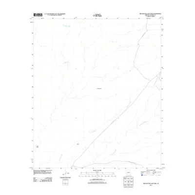
2011 Map of Million Dollar Tank
USGS Topo · Published 2011About this map
Lazy J Ranch and the water sources that support it define this corner of Cochise County, where modern land use continues to rely on vital catchments like Million Dollar Tank and Mormon Tanks. The landscape is etched by seasonal watercourses, with Cottonwood Creek and Sycamore Creek draining the high ground while Hay Hollow Wash and Black Draw mark the lower elevations. Movement through this arid region is channeled along historical paths including the Geronimo Trl and Snare Ranch Rd. This map reveals the essential relationship between geography and cattle ranching, where the placement of tanks and trails follows the contours of the land near Wildcat Hill. The intersection of Guadalupe Canyon Rd at the southern edge highlights the thin network of infrastructure that connects these remote ranching outposts to the wider region.
Find a feature on this map
11 named features on this map. Tap any name to fly to it.
Don’t see what you’re looking for? This feature index may not catch every label — zoom into the map to look around manually.
Map Details
Editions of this 2011 Million Dollar Tank Map
This is the sole edition of this map. No revisions or reprints were ever made.
Other maps of this area

1917 · Chiricahua
USGS Topo · 1:125,000

1919 · Perilla
USGS Topo · 1:125,000

1919 · Chiricahua
USGS Topo · 1:125,000

1922 · McDonald
USGS Topo · 1:62,500

1926 · Pedregosa
USGS Topo · 1:62,500

1940 · Apache
USGS Topo · 1:62,500

1940 · College Peaks
USGS Topo · 1:62,500

1955 · Douglas
USGS Topo · 1:250,000

1958 · Apache
USGS Topo · 1:62,500

1958 · Guadalupe Canyon
USGS Topo · 1:62,500