
Loading...
Loading map...1951 Map of Milltown
USGS Topo · Published 1951About this map
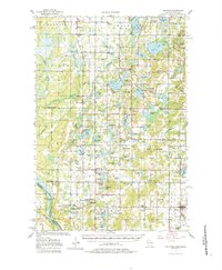
Milltown and its surrounding townships in Polk County show a landscape defined by the complex glacial topography of northwest Wisconsin in the late 1940s. The region is densely packed with water bodies like Spirit Lake, Trade Lake, and Deer Lake, interspersed with a tight network of country schools such as Oak Hill and Alabama. The settlement pattern reflects the era's rural infrastructure, where small centers like Cushing, Atlas, and West Denmark served as local hubs.
Find a feature on this map
95 named features on this map. Tap any name to fly to it.
Don’t see what you’re looking for? This feature index may not catch every label — zoom into the map to look around manually.
Map Details
Date Portrayed1951
Date Published1951
PublisherU.S. Geological Survey
Map TypeTopographic
Scale1:48000
Physical Dimensions21.06 x 27.24 inches
Editions of this 1951 Milltown Map
This is the sole edition of this map. No revisions or reprints were ever made.
Historical Maps of Trade Lake Through Time
4 maps found
Featured Locations
Source Details
SourceU.S. Geological Survey
CopyrightPublic Domain